There will be a few ways to follow us as we move around.
1. Iridium / PredictWind tracker : while we have it turned on, our satellite system will send an update every few hours. See the tracking page at https://forecast.predictwind.com/tracking/display/SV_Songline/
This only sends info while the tracker is turned on and it has good satellite signal. It’s quite possible that no updates will come for days at a time.
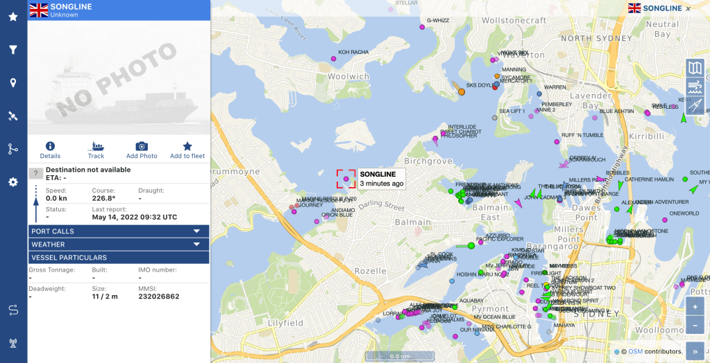
2. AIS. We have an on-board AIS system, which is used for vessel monitoring and safety. We use it to see what boats are around us, their speed and direction, and any potential collision courses. We also transmit our position to other boats. The aerial has about a 10 mile range, and if we’re within range of a shore station, you can find us on a marine traffic website such as www.vesselfinder.com : use our MMSI (ID) number 232026862.
This is what it looks like: (this map is not live, click it to open Vessel Finder)
We’ll also have an Iridium satellite phone system which can provide tracking, but until that’s up and running we’re not quite sure how best to share it. More info soon 🙂
