Sunshine Coast

By 8am the sun was already hot, so we had a quick dip in the lake, packed up camp and paddled along the south shore back to the van. I’d wanted to leave earlier to be ahead of the wind, but as we put the boats back in the water it picked up where it had left off yesterday – which meant an upwind paddle where we’d had a downwind ride before. No big deal though, we still made it back in about the same time.

Stump Island

A successful little expedition and a real taste of kayak/canoeing around here. One day I’d like to do the whole Powell Canoe circuit. Our island didn’t have a name on any of the maps we could find, so we called it Stump Island.

Headed to the ferry to catch an early-ish ride around to the next spot on the Sunshine Coast … but discovered that the next ferry was 4.30pm; the schedule I’d been planning from was only valid until June 24th! Ah well, we just had to kill a few hours. Had a coffee and chatted with a couple of locals, took a wander around the local provincial park (lots of them up here) and then managed to squeeze a bit of work writing in as we waited for the ferry from Saltery Bay to Earl’s Cove.

Ferry panorama

What a beautiful ferry journey. It was only 50 minutes, but the views were stunning. Big, steep mountains dropping straight into the water all around us. Other than a few cabins tucked into the trees here and there, it was completely empty, or at least looked empty. A few of the hillsides were scarred by logging trails or fire roads, or had patches of missing trees – but otherwise there was no sign of humanity at all. I can imagine the coastline further up towards Alaska is incredible; like this but genuinely remote. Definitely want to sail up there some time.

Tonight we’re in yet another provincial park campground. We’re in Porpoise Bay at the southern end of the Sechelt inlet. In our bellies is a gourmet dinner of locally smoked salmon, spinach and quinoa. The van is sealed up so none of the hordes of mosquito-beasts outside can get in, and we’ve got the guidebooks out, planning what we want to do in Vancouver over the next few days.

Stump Island

I’m really starting to get into breakfast of scrambled eggs with salami. Quick, easy, and tasty. Eggs last for ages without a fridge, and the pack of salami we bought (I think in California) is still going strong.

DCIM100GOPRO OLYMPUS DIGITAL CAMERA

Weather looked good for a kayak trip, so today we headed across to the mainland on the ferry to Powell River, picked up some bear spray and a coffee, then found our way up a gravel track to the start of the Powell Canoe Route. It’s normally a 5 to 7 day multi-lake adventure with portages between each lake and awesome mountain views, but as our first time out kayak camping we figured a short paddle down the first lake (Lois Lake), and one night out would do fine.

Saw our first bear of this trip! Driving up the gravel track just off the highway a big black bear was hanging out on the track. He ran right off into the bushes, no hanging around for pictures.

Bear

We packed a tent, sleeping bags and some food, put the kayaks in the water and headed off into the wilderness in the baking sun. After an hour we washed up on a deserted beach on a small island in the middle of the lake, and decided to call this camp for the night.

DCIM100GOPRO DCIM100GOPRO DCIM100GOPRO DCIM100GOPRO

What a stunning place. The lake is surrounded by steep sided, forested mountains, with their tops hidden in the clouds. Down here we’re in the warm sun, with only the sounds of the wilderness and the waves slapping on the sand. The lake is actually a dam, which means that it’s a flooded valley with thousands of dead tree trunks poking up through the water around the shores. The lake level rises and falls depending on how much hydro power they need, which creates these crazy looking tree stumps that are still standing, all the sand and soil having been washed away from underneath them.

We explored the island, I had a swim, Rose did some drawing, we cooked some dinner, had a camp fire – all nice and slow, nobody else around at all. As the sun set, wolves were howling in the distance. Optimistically we’d only put the inner tent up, as the sun was shining late into the evening, it was calm and warm … didn’t smell like rain was coming. It would have been nice to sleep under the stars. Just as I was drifting off to sleep the rain started so I had to rush the fly sheet on – at least we’d brought it!

DCIM100GOPRO

Ten days

Ten days and 1,900 miles lie behind us, mainly wiggling back and forth over the mountains of the Cascade Range. Vehicle and crew are doing well. The van’s getting about 15 miles per gallon – same as it always has so the kayaks on the roof don’t seem to make a difference to economy. We’re starting to settle into a nice routine, though we’ve been driving a bit more than we’d like. Every night we’ve had a different spot – in a campsite most evenings, one night in a motel and a couple of nights in the wilderness last week. The idea was to spend a fair bit of time in BC, and now that we’re here we should be doing less driving. Though today it’s raining, so we’re back on the road across to the east of Vancouver Island, heading up to a campsite near Little River where we’ll catch a ferry across to Powell River on the mainland tomorrow.

The van has a leak somewhere in the roof which finds its way along inside the gutter and drips down onto the foot of the bed. But not every time it rains. I’d hoped we’d fixed this leak months ago when we first discovered it but no such luck. I’ve been round every joint above the gutter with filler and thick paint. At the moment I’m just hoping we’re not going to get much rain. And it’s not more than a drip, anyway.

We’d originally planned to spend tonight in the wilderness at the north end of Kennedy Lake, kayaking in and finding a remote beach for the tent, but this morning we woke up to a chilly grey mist and the forecast didn’t look too good so we bailed on that and drove up to Tofino instead, just a few kilometres north of last night’s campground. While our laundry was washing we grabbed a coffee, caught up on some emails and checked out the BC ferry times for our route down to Vancouver.

Tofino is very much a surf town, with all the surf dudes and chicks that come with it. Tofino is to BC as Newquay is to England, I suspect, but less tacky. If I was a surfer and had a board with me, I’d stick around for a while and get out in the water, but I’m not, it’s a bit wet for anything else, and we have miles to get under our belt. It was almost windy enough to get out kitesurfing last night. That would have been sweet. Mount Washington Bike Park is around here – with a chairlift to haul my bike and I to the top of some fast, flowing trails – but I don’t fancy riding in the rain and mud so we’re passing on that too.

Late in the afternoon we got to Miracle Bay campground – another cookie-cutter provincial park setup with rows of well-kept sites in the trees, each with a picnic bench and fire pit. In the rain, we rustled up a meal inside the van. As we finished up, the rain stopped so we had a wander down to the beach as a couple of cruise ships, er, cruised by. Made me think of the contrast between us and them. Camping in the back of a pikey van in the trees, or dressing up for a 5-course dinner along with live music on the top deck of a cruise ship. I don’t mind a bit of luxury now and then but I don’t think a cruise is on the agenda. Would hate to have everything so structured and organised. Nothing spontaneous.

OLYMPUS DIGITAL CAMERA OLYMPUS DIGITAL CAMERA

Vancouver Island

Across Vancouver Island to the west coast today. We stopped in a small town called Chemainus, the town of “world famous murals”. Not famous enough for me to have heard of it before, but we stopped in anyway, had a coffee, made some plans, had a wander around and then hit the road again.

Crossing the island took about two hours along a twisty two lane road; more mountains, more trees, more lakes. All beautiful, as usual! Driving through towns is hardest – with hundreds of bill boards lining the side of the road there’s so much to read, so much to distract from actually driving.

We ended up at Green Point campground in the Pacific Rim National Park; a quiet spot a few hundred yards back from the beach, set a little higher than the sea in old-growth forest. Lots of old man’s beard hanging from the trees, quite a bit of birdsong and a ray of hot afternoon sun beating down through a gap in the forest. Time to head to the beach.

It’s great to be back by the sea. Both of us feel relaxed and comfortable. Happy wandering along Comber’s beach, exploring rock pools, finding shells and stones and soaking up the warmth and emptiness. Wandering along in the surf made me think about the winter coming up, where the plan is to head down to the warm waters of Mexico. For the past week I’ve been immersed in mountains, thinking about biking and climbing and how much fun it would be to spend the summer in a mountain town, staying long enough to get to know people and tuck a load of adventure under my belt. One day. This is a good exploratory trip.

Back in camp, Rose got down to some drawing and I tucked my nose back into the book I’m reading; Monsoon by Wilbur Smith. Tales of high-seas adventure from the 17th century (thanks for the load of books Shane, I’m going to have to work hard to get through them all)

Tonight was our first camp fire! We toasted a few marshmallows and just sat, enjoying being here.

DCIM100GOPRO OLYMPUS DIGITAL CAMERA OLYMPUS DIGITAL CAMERA DCIM100GOPRO DCIM100GOPRO OLYMPUS DIGITAL CAMERA DCIM100GOPRO DCIM100GOPRO

Canada

True to its name, the Sunrise Motel was in the full sun this morning – the longest day of the year. Unlike our hostel in Iceland which had thin see-through curtains in a land that has near-24 hour sunshine, this place had thick light blocking curtains. But we were still up fairly early, with a good 70-odd miles to drive north to Point Angeles where we picked up the ferry for Victoria.

We’re now on the ferry, with a huge mountain off to starboard which I think is Mt Rainier, over on the Washington mainland. Canada is a few miles ahead. I hope they let us in!

##

Yup, we’re in. No troubles at the border, just a look at our passports and a few questions. I don’t think the guy even had a computer in his kiosk. Not like the US immigration!

We spent the afternoon exploring Victoria, including a wander around “Miniature World” which was an impressive set of model towns, villages and scenes from all over the world at various stages in history. Coming out of Miniature World we made a bee line for Bug Zoo which Rose had spotted earlier. Can’t miss an opportunity to get up close and personal with bugs…

The main town felt pretty empty, but I have a feeling that’s what a lot of Canada is going to be like. It was a hot sunny afternoon so the docks were busy; lots of tourists and locals hanging out in various sunny bars overlooking the attractive waterfront. We paid our first visit to MEC (Mountain Equipment Co-op) – I’m sure there will be more – to grab a headtorch for Rose and some gas for our mini cooker which we’ll take when we camp away from the van.

Late in the day we headed north, stopping at Goldstream park campground which unfortunately was full. Being so close to Victoria on a Saturday night that wasn’t surprising really. So we carried on up the Trans Canada Highway and eventually stopped at an RV park in Duncan. Nothing special, but a place to park for the night which was all we really needed.

OLYMPUS DIGITAL CAMERA OLYMPUS DIGITAL CAMERA OLYMPUS DIGITAL CAMERA DCIM100GOPRO OLYMPUS DIGITAL CAMERA

Mount St. Helens

Had an awesome ride up Mount St Helens today. Rode up through fir trees by the side of a huge boulder and gravel-strewn valley for a while, then cut up onto a ridge on quiet singletrack. After an hour or so, we came out above the tree line at the top of the trail. Rose hung out here while I carried on up onto the Plains of Abraham; desolate volcanic flat lands covered in rocks of all types and sizes. Black lava, grey pumice and everything in between. Then back down through the woods to the van for a late morning coffee. Great to be mountain biking on a mountain, on remote trails. We saw one other couple with bikes, and another couple walking. Otherwise, it was an empty mountain.

We wanted to carry on around Mt St Helens up onto Windy Ridge where there’s a viewpoint over the 1980 eruption zone, but the road was closed. On the twisty, mountainous Washington roads we’ve seen a lot of rock falls – I guess they are still clearing up the road after a harsh winter. Even the roads that are open can be a bit dicey at points; lots of subsidence and sharp dips. Gotta drive carefully.

So, quick change of plans; now with an extra couple of hours on our hands we decided to keep heading north. Mount Rainier National Park was tempting, but to be honest we’ve kinda had enough of mountains and fir trees for the time being. Time to head back to the sea. We skipped past the Olympic National Park as well; the Pacific coast here is supposed to be incredible – I read in a local tourist brochure that “nowhere else can you experience majestic old growth forest running right down into the Pacific Ocean” … but that’s exactly what we’ve seen quite a lot of so far in California. And we want to spend some good time in BC, on Vancouver Island and in the Rockies, so it’s now time to head to Canada.

After a mediocre (but typically American-sized; huge) noodle meal at a roadside restaurant and a quick and dirty Wal-Mart stop to buy mosquito net for the van we found a motel in the small town of Hoodsport. Time to wash off the dirt from the ride this morning. Right on the edge of the small gravel beach, the Sunrise Motel has a wonderful view over the water, with its own dock that squeaks with every wave that comes through. We’re a long way from the open ocean here at the southern end of the Puget Sound. Seattle is to our east, across a number of estuaries, islands and waterways. We had no reason to stop in there, and generally want to avoid the big cities.

06-20 Hood Canal - Sunrise Motel 06-20 Mt St Helens ride - Car park ??????????????????????????????????????? ??????????????????????????????????????????? ???????????????????????????????????????? ??????????????????????????????????????????????? OLYMPUS DIGITAL CAMERA ???????????????????????????????????????? ?????????????????????????????????? ????????????????????????????????????? OLYMPUS DIGITAL CAMERA OLYMPUS DIGITAL CAMERA DCIM100GOPRO DCIM100GOPRO

Portland, and into Washington

We left the campground pretty late this morning, and continued on west to Portland. Low on fuel, again. Why don’t I learn? We left Hood River last night with a quarter tank. It would have been so easy to full up then. “Yeah, we’ll manage. We’ll get there on what we’ve got left.” My optimism is going to bite us in the ass one day. When the van was in the garage I learnt that it’s actually a 5.7 litre V8, not a 4.3 V6 as I thought. 5.7 litres! That’s crazy. It sure doesn’t feel very powerful for an engine that big. We only get 15 miles per gallon, which means 300 miles from a tank at most. We crept into a local store that sold fuel, well over the 300 mile mark. Oops. But we made it.

In Portland we had a couple of hours in a super-hip café, me getting some writing done for work and Rose doing some drawing. It’s clearly the hub for the local bike courier scene. Outside on the pavement a bunch of dudes in their trendy cut-off trousers and extravagant facial hair were swigging tea from thermos flasks and getting calls for jobs on their radios.

We thought we’d go for a healthy lunch today – a couple of doughnuts from Voodoo Doughnuts. This place must be a national legend, the queue outside was maybe 50 people long! They were pretty tasty. We also had a quick peek around the National Centre for Crafts; pottery and clothing mainly.

Then onwards into Washington! First stop; Mount St Helens National Monument. I’d read that there was a good bike ride up the southern face of the mountain so we headed that way. I hadn’t written down any details, and going by the seat of our pants we ended up at Ape Cave (I actually needed Ape Canyon, which we got to later). Ape Cave turned out to be an amazing lava tube; 3rd longest in the USA. We explored half a mile or so down the tube with my bike light. Walking on a river of solid lava through a sewer-sized tunnel, you could easily visualise this being hot and molten.

Back on the surface, we carried on a little way to Lava Canyon; again an unplanned side-trip. Always the best way; drive around a corner and see something unexpected. That’s what road tripping is about! Reminds me of a saying; “Tourists see what they go to see. Travellers see what they see”.

I’m starting to experiment with more non-perishable food, in preparation for longer trips on the boat. Tonight’s gourmet dinner was a curry with canned chicken. Worked just fine! In fact it was amazing. But food always is when you’re hungry, and our two-doughnut lunch wasn’t really setting us up for success. We have a fridge in the van – it runs off 12 volts – but as we can really only run it while we’re driving, it only gets a few hours of cooling each day. The cooler device isn’t very powerful, so it’s more of a “storage box that doesn’t get too hot” than a fridge. So far so good, nothing has gone off. It’s going to be a different story in Utah in August though … might get a solar panel that we can later transfer to the boat. That at least will mean we can run it all day.

We’re still parked just by Lava Canyon, where we’ll stay tonight. The van is all sealed up to make sure that no mozzies get in. I don’t think we’re in a mosquito hotspot here but Rose would not be best pleased if she woke up covered in bites…

The car park is in thick trees, and the moon is not yet up. There are a few stars shining in the small patches of sky between the tall firs, but most are hiding behind clouds. It’s very, very dark. It’s warm. Even though there’s a lot of snow on the slopes not far above us, we can’t be very high here. I don’t know what the altitude is though. The van is all smoky because we’ve been burning a mosquito coil inside. I can hear loads of crickets. In the distance is the rushing of the creek. Earlier we heard frogs and what sounded like jays in the forest. It’s really peaceful. No thundering trains tonight! I wonder what creatures are going to walk past before the sun comes up…

???????????????????????????????????????? ??????????????????????????????????????? ???????????????????????????????? ????????????????????? ??????????????????????????????? ?????????????????????? ????????????????

Hood River

Kite surfing day! It was still blowing a hoolie. My smallest kite is a 9m and I knew that still had a puncture in one of the struts, so first stop was Airtime Kites, perhaps the world’s leading kite repair centre, conveniently based right here in Hood River. They fixed me up with a new strut, so off we went down to the launch site. So many hyper-cool dudes and girls all in one place, just like every other kiting spot in the world I’ve been to. It can be pretty intimidating, especially in a fairly hardcore spot like this, where the wind is cranking, the river current is running and the launch is on a cross-wind sandbar which you have to wade across to. At least all the riders head way upwind once they’ve launched. Even though there must have been over fifty kites on the river, it wasn’t a crowded launch zone.

Pumping up on the grass by the river, it didn’t take me long to find out that one of the other struts also had a delaminated valve. Ugh. Back to the repair shop. Repaired the valve and bought plenty more repair kits – it’s only a matter of time before every valve on my ancient kites has the same problem. Hopefully not when I’m out kiting…

Hood River town is full of dudes driving beat-up trucks with some kind of extreme sports accessory on the roof or on the back; windsurf, kite or bike gear. It’s got a relaxed feel about it, with a bunch of nice cafes, and everything (in the centre at least) within walking distance. I could definitely see myself spending some time here.

Back at the launch zone it was still blowing well over 30 knots; really too much for my 9m kite, but there’s no way I was going to pass up the opportunity to have a session at a spot I’ve been reading about ever since I started kiting. I launched the kite, and yes it was a struggle to hold it down but I was on the water! The experience from the middle of the river was amazing. The white snow-covered peak of Mount Hood rose above the southern edge of the gorge, and the view both up and down river was dramatic – cliffs and forest right up to the water.

At one point I got caught by a strong gust, was hoisted into the air, and lost my board on re-entry. The current runs upwind, and I’d heard horror stories of people losing boards for ever, so I went into body-dragging overdrive, swimming hard upwind to get it back. Back on the board I decided it was really too windy for a 9, so headed in. Great to get a session though.

We drove down the I-84 a short way towards Portland and stopped in another State Park campground, again with a train track running along just behind the van!

The van’s been a bit cramped and cluttered so I spent some time making a couple of extra storage areas for the things we use frequently; a shelf on the dash for books and a shelf in the back for cooking stuff.

DCIM100GOPRO DCIM100GOPRO

Bend

Yes, it’s definitely Hills Creek Lake. We followed it all the way to the end through more typically Oregonian scenery; hills and trees. I don’t think I’ve ever seen so many trees covering such vast areas of wilderness. The original plan was to do a mountain bike loop in Oakridge, just at the end of the lake, with a promised 7 mile downhill section; but the weather was wet and raining so I wasn’t up for a ride. Rose wasn’t up for wet, smelly bike gear in the van either, so we headed on to Bend.

The Oregon Cascades Scenic Highway took us through the Deschutes National Forest, past lava flows and along more empty, tree lined roads. It’s not a place I’d fancy hitching. There’s nobody around! All the talk of an overpopulated planet is a little harder to understand out here. Makes you realise quite how much humanity has flocked to urban centres.

In Bend we stopped off at a bike shop to get an idea of where the best riding spots are (Bend has a reputation for being a biking mecca), to get a real coffee and to check in on some emails. We’ve had zero phone reception for days. No phone reception and no traffic would mean a long bike ride to get help if we had any trouble with the van… but a lot better than the same distance on foot!

Spent a couple of hours riding in the forest just above Bend; from Phil’s trailhead. There are a load of marked trails here; some of them one-way so you can really crank it. Not especially technical, but very flowy, so it was lots of hard pedalling. I felt the altitude, but otherwise not in bad shape. Out on the trails I met a couple who’d come down from Seattle for a few days biking holiday, and a guy who’d moved to Bend from Idaho 6 years ago and says “it’s the best thing he’s ever done”. Otherwise it was pretty empty. Great to be back on the bike in the dust.

From Bend we headed north through Madras and over the Warm Springs Indian Reserve. I’m not quite sure what an Indian Reserve is; all we saw was lots of open land and yet again, new and impressive scenery. Beyond the Indian Reserve we headed up into the hills, into the cloud and rain again, before going over the summit at Barlow pass and down the Hood River gorge in the late afternoon light.

A shower was on the to-do list for today so we found a State Park campsite just along the freeway from Hood River (the town), at Memaloose. This place is windy! I was expecting wind since it’s one of the world’s top kite surfing spots, so shouldn’t really have been surprised. A train track ran along the bottom of the campground, so every hour or so during the night there was a thunder of engines followed by the rumble of hundreds of rolling stock going past. I (as usual) slept through everything but Rose found it a bit harder.

DCIM100GOPRO DCIM100GOPRO OLYMPUS DIGITAL CAMERA OLYMPUS DIGITAL CAMERA OLYMPUS DIGITAL CAMERA OLYMPUS DIGITAL CAMERA OLYMPUS DIGITAL CAMERA DCIM100GOPRO 06-17 Bend Phils Trail 2 OLYMPUS DIGITAL CAMERA 06-17-01-Hills-Creek-Lake-camp

Into Oregon

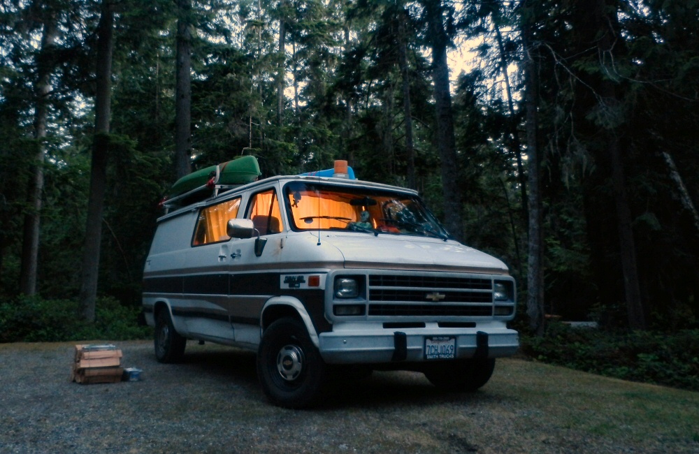
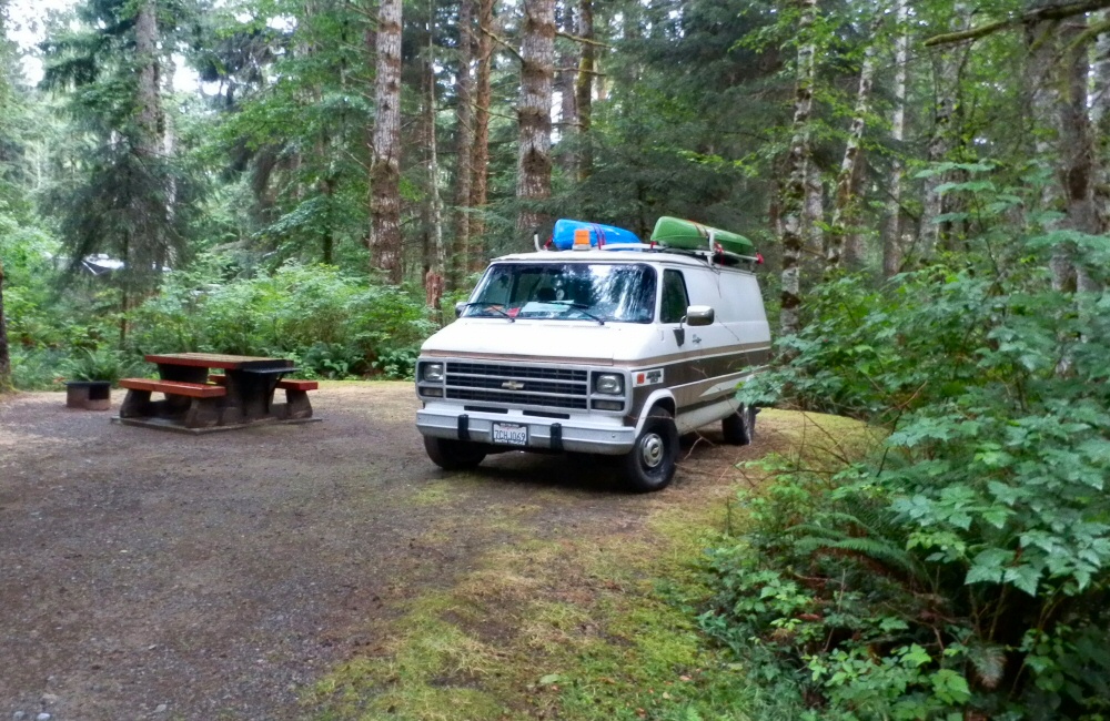
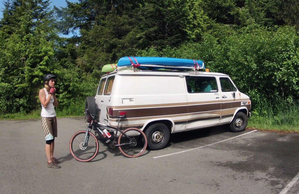
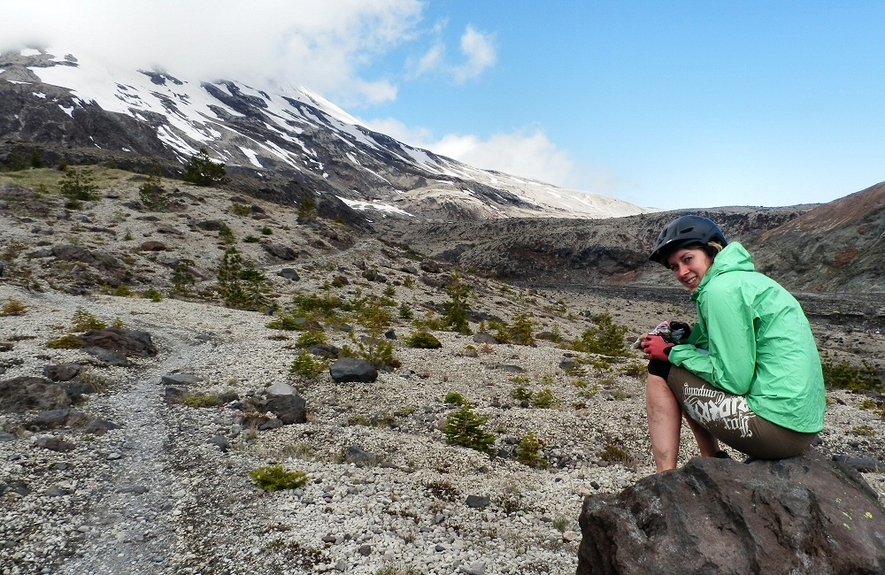
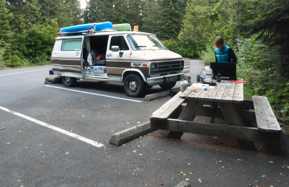
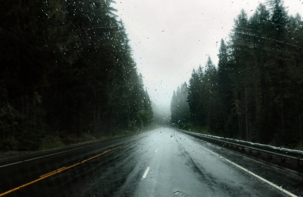
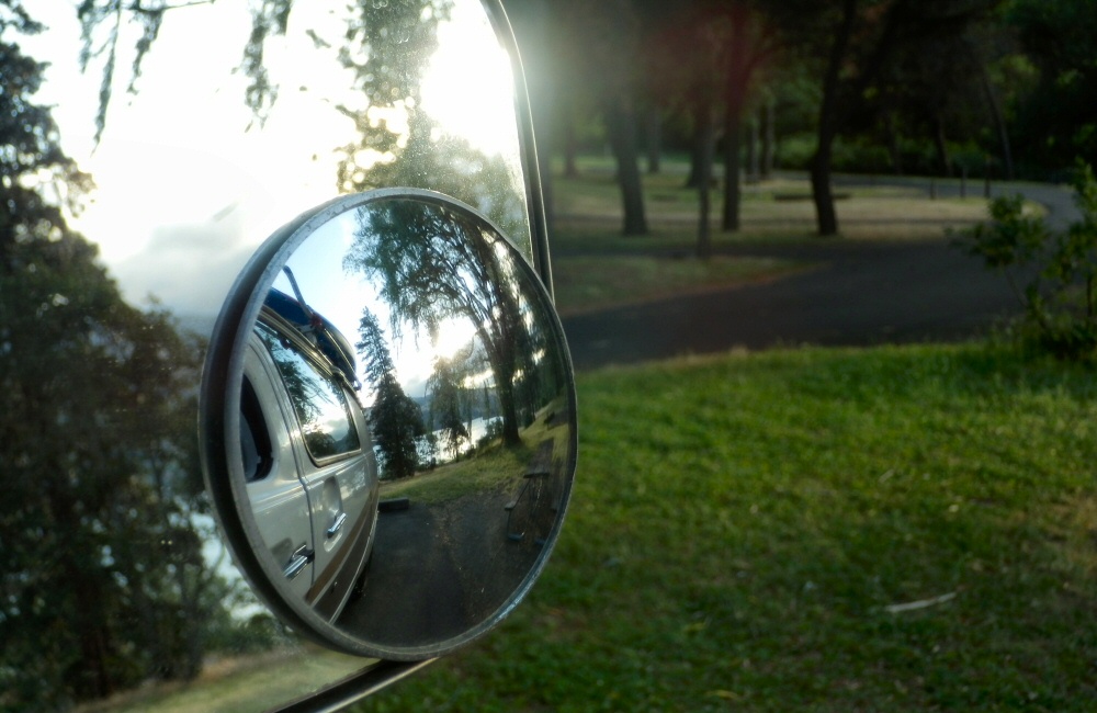
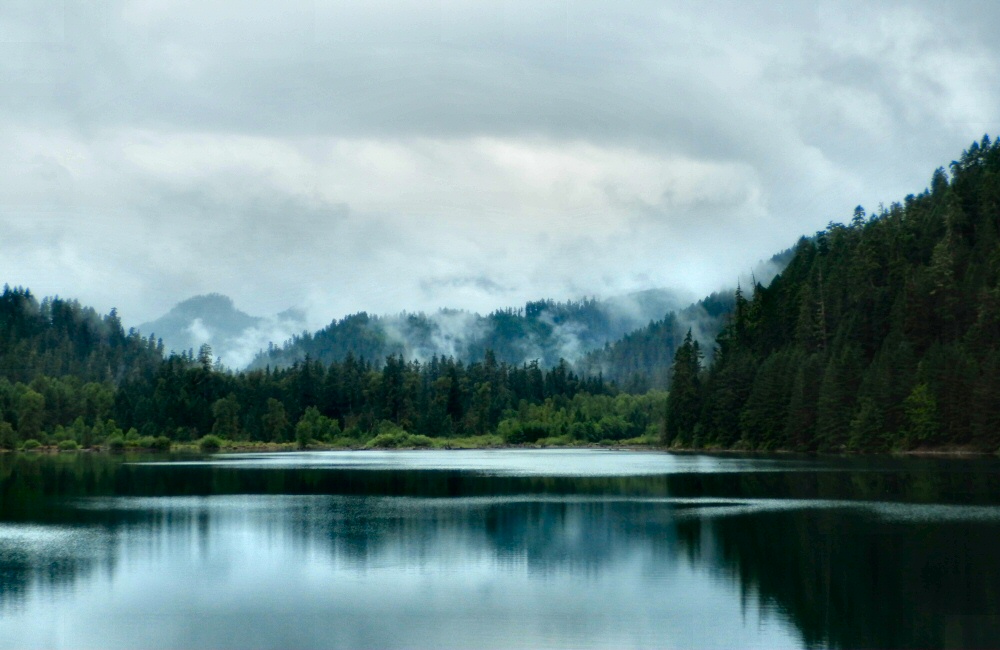
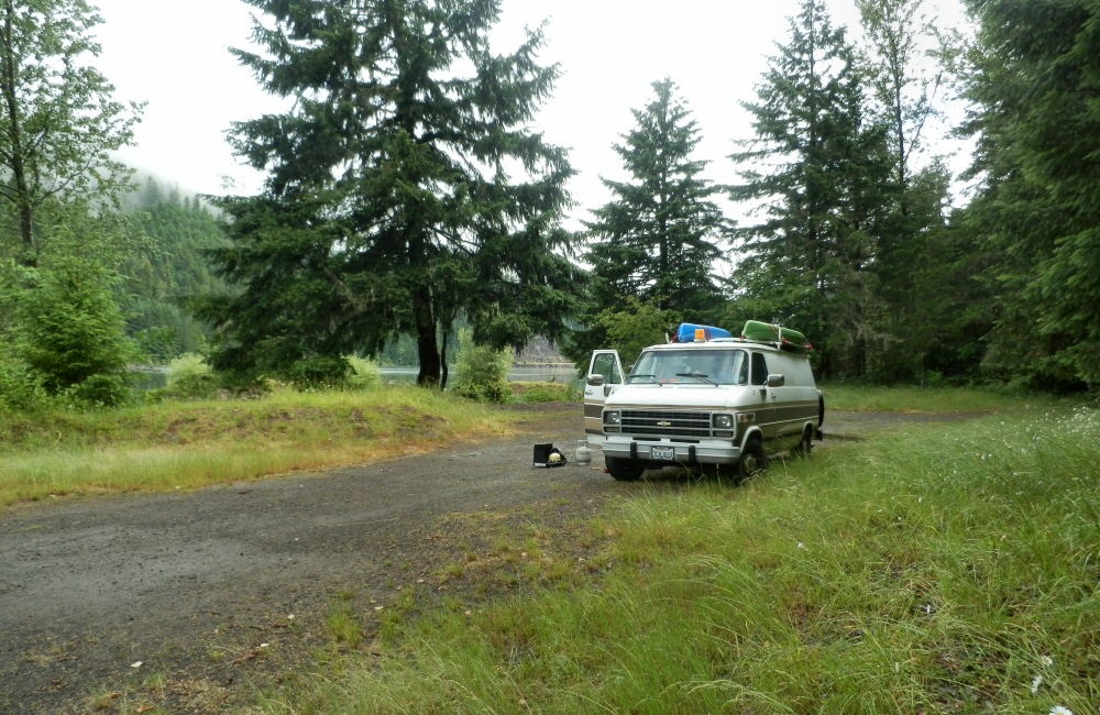
We’re sitting in the van, in the rain, near what I think is Hills Creek Lake, just south of Oakridge. I’m not 100% sure though. We’ve come over the top of the mountains from the south on an unpaved road, with only a national road atlas to go by. We’re definitely in Oregon, anyway. I thought that this atlas would only show the major roads (Oregon is about 12 inches top to bottom on the paper), but when it comes down to it on the ground, there really are no other roads here. It’s pretty wild. The atlas shows when roads are paved or not, and there’s not a lot of options between gravel and the interstate freeway.

So anyway, we had our second night in Lassen and then headed back into the park on Sunday to have a look at Bumpass’s Hell hot springs area. Now that’s more like it; lots of big, bubbling pools, steam and hot ground. Definitely tops my list of geothermal sites. No molten lava though. I might end up having to go to Hawaii for that.

DCIM100GOPRO OLYMPUS DIGITAL CAMERA

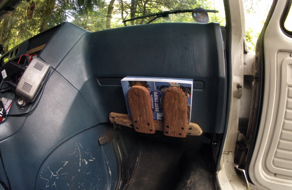
We had an early start, and were out of the park by mid-morning. As we dropped back down into the valley towards the I5 (Interstate #5) the temperature soared. Hot, sticky vinyl seats, sunburnt driving arm, windows open for breeze, dehydrating more and more every minute… We stopped off to buy provisions and a few things on the “left it at home” list- stuff like a chopping board, cutlery, washing up bowl.

OLYMPUS DIGITAL CAMERA

Onward. Northbound we rounded Mount Shasta, leaving it to starboard in a rush of gasoline fumes and noise. It was one of the places I’d wanted to spend some time around, but with our tighter schedule due to van repairs, we had to move on.

OLYMPUS DIGITAL CAMERA DCIM100GOPRO

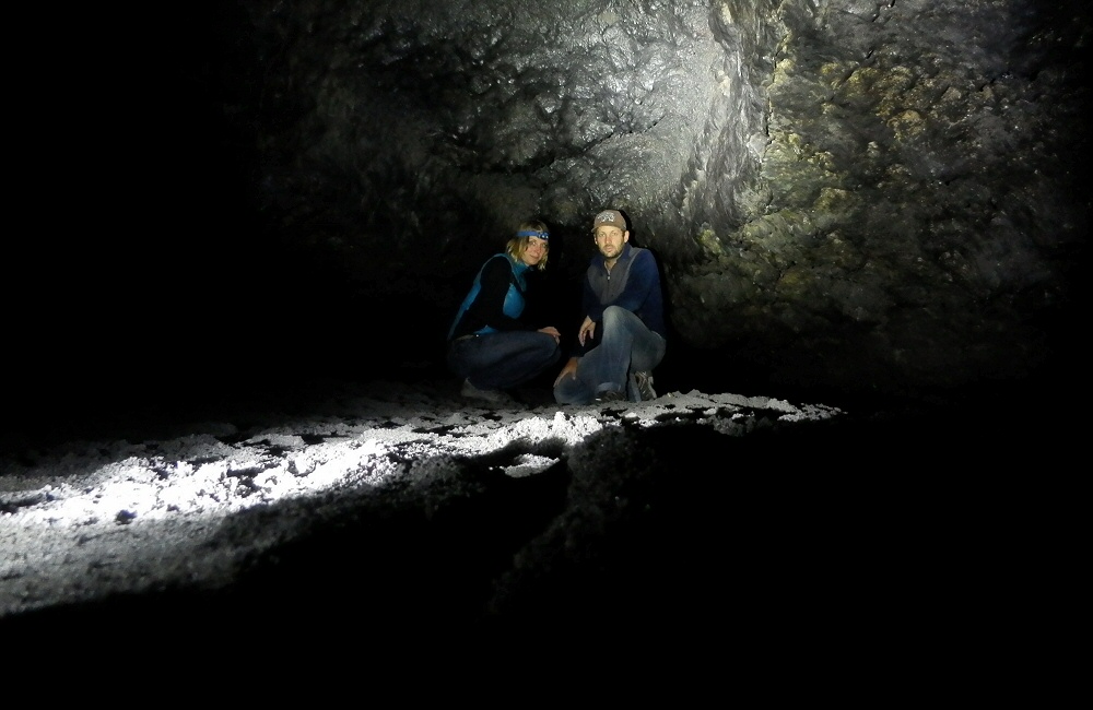
Lava Beds National Monument seemed like a good place to stop for the night, so we headed off the highway and soon found ourselves buzzing along a gravel track, kicking up a right dust storm behind us. The road went on. And on. And on. Hmmn. Our fuel gauge was hitting the red and we were still deep in wilderness. Not ideal. At a cross roads just 4 miles away from the Lava Beds area we found a “road closed” sign which meant that we had to take a longer way round, and meant we’d miss the stuff we’d come for, including lava tubes that you can explore in. And it meant that we were touch-and-go with fuel. We emptied the 2-gallon spare into the tank and crossed our fingers. Eventually we crept into the small town of Tulelake, where the local store was still open and also had some gas. Result!

OLYMPUS DIGITAL CAMERA OLYMPUS DIGITAL CAMERA

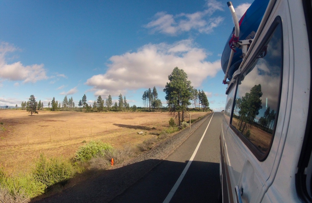
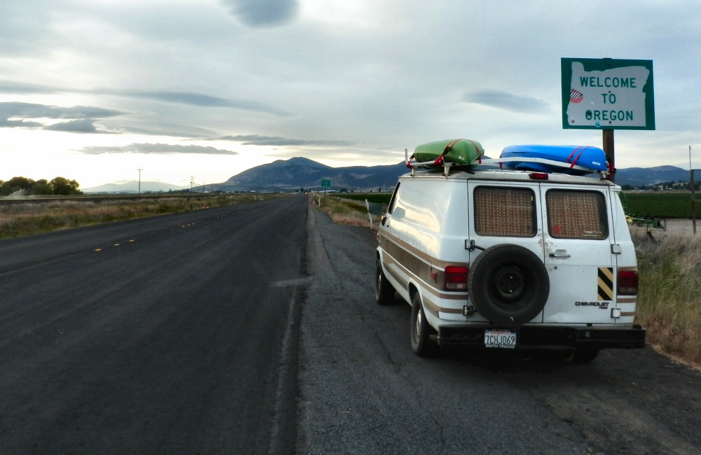
We trucked on, over the Oregon border, up past Klamath lake and found a nice quiet spot just off the road on a “winter recreation area”. I couldn’t quite figure out what this was; a large expanse of concrete with a winter shelter at one end. I think it’s where people park in winter before heading into the back country on show shoes, skis or snow mobiles. No snow around there now.

Wow, so that was all just yesterday.

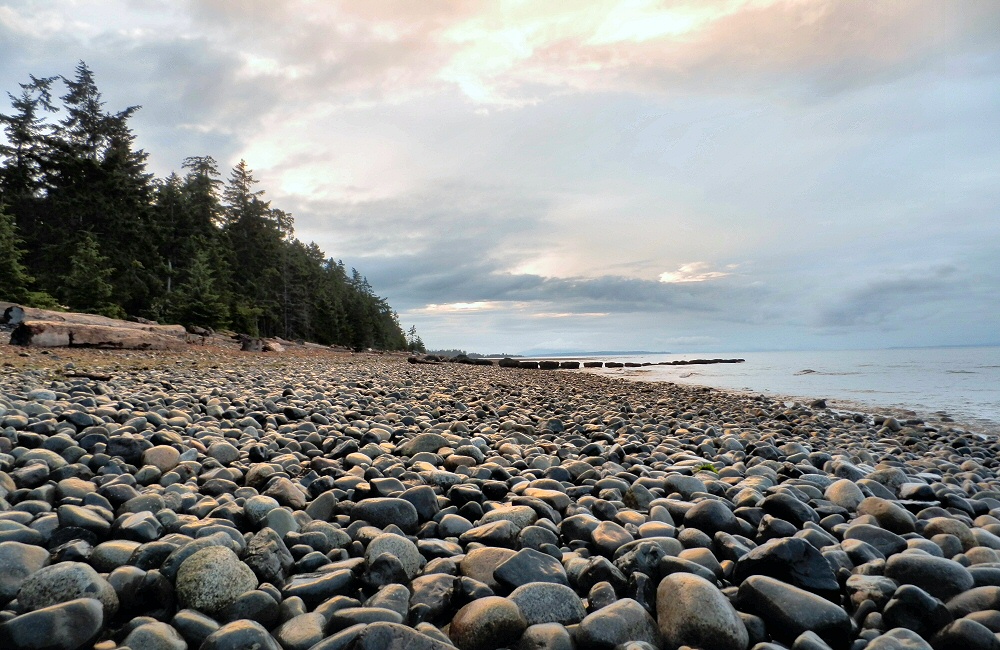
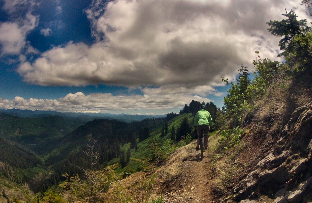
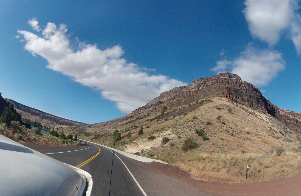
This morning we continued north to Crater Lake National Park – Oregon’s only National Park. The ring round around the lake was shut; so we had to continue on the main road which did run along the western rim for a bit so we did get to see the awesome views. The deepest lake in the USA at over 500m, and also the clearest water; they say algae grows over 400 feet down! It was cold up there though; still snow drifts metres deep, and frost on the windward side of the trees.

DCIM100GOPRO OLYMPUS DIGITAL CAMERA OLYMPUS DIGITAL CAMERA

We only stopped for a few photos, then headed on to Toketee falls. Toketee means “pretty” in Chinook; they certainly were. The walkway stopped high above the plunge pool, I hopped over the barrier and scrambled down to the water for a very quick, very fresh swim. Such a beautiful spot; shame it wasn’t warmer.

DCIM100GOPRO

Next was a spot supposedly just 4 miles up the road; Umpqua hot springs. After at least half an hour and many miles into the mountains later, we still hadn’t found it. On the way back down we spotted a sign in marker pen pointing up a road we’d not yet tried. Someone trying to keep the hot springs secret!

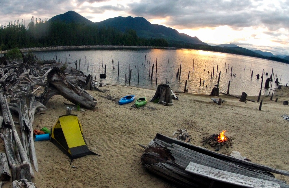
Not far down the bumpy gravel road a chap was sitting at the side of the road with a broken motorbike. His chain had come off and a load of links were bent. I stopped, we had a wrestle with some tools to the point where it looked like he could at least limp back to the main road. We left his bike by the side of the track, he hopped in the van and we headed up to the springs together. A bunch of folk were living there full time, in tents by the river. The springs themselves were 4 or 5 separate pools perched on the edge of a cliff, the hot water feeding the top pool. Each pool further down was a little cooler than the one above it. Nice to have a soak for a bit.

Jim (with the motorbike) decided that he could probably make it back to Eugene to get a new chain on his own, so we left him to it. He ended up leaving his towel in the van; luckily he’s from Vancouver so we’ll drop it off in a few days’ time.

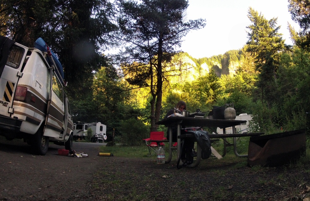
Just half an hour later we were on gravel tracks again, heading north, aiming for Oakridge. This time we made it all the way over the mountains without any closed roads or fuel scares, and here we are by the side of Hills Creek Lake, bellies full of steak sandwich. I’m pretty sure it’s Hills Creek Lake. We’ll find out tomorrow!