Bend

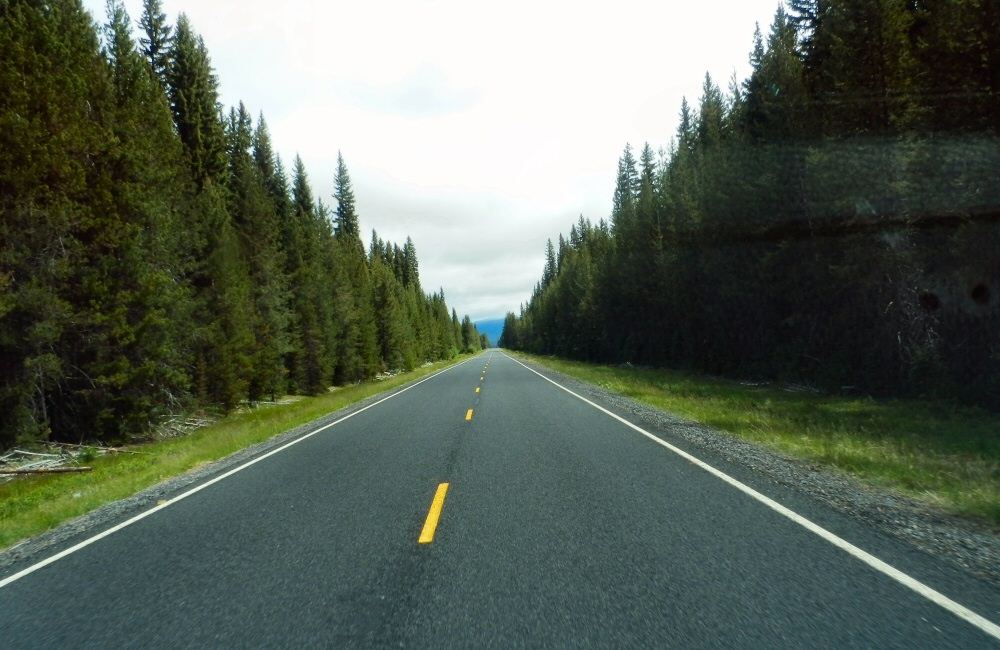
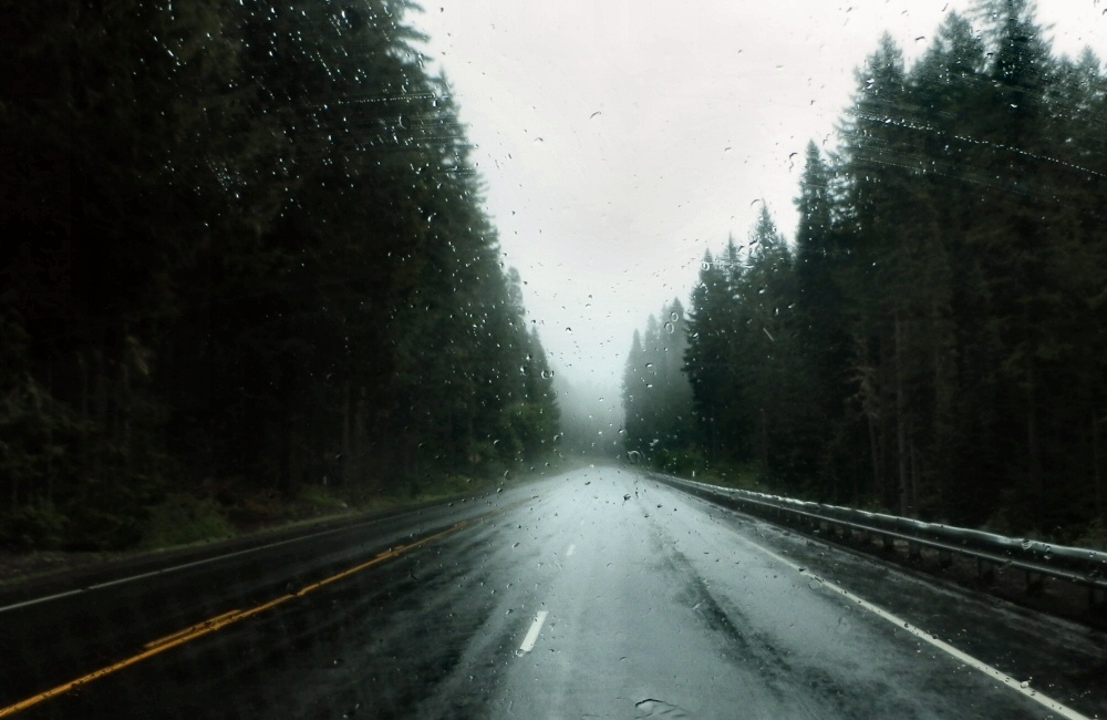
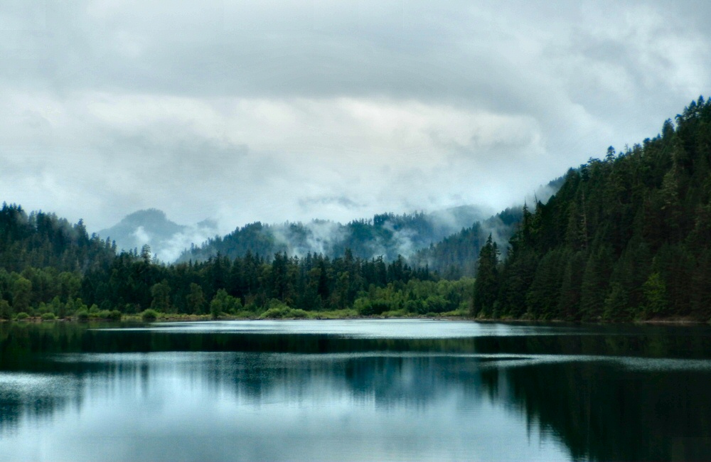
Yes, it’s definitely Hills Creek Lake. We followed it all the way to the end through more typically Oregonian scenery; hills and trees. I don’t think I’ve ever seen so many trees covering such vast areas of wilderness. The original plan was to do a mountain bike loop in Oakridge, just at the end of the lake, with a promised 7 mile downhill section; but the weather was wet and raining so I wasn’t up for a ride. Rose wasn’t up for wet, smelly bike gear in the van either, so we headed on to Bend.

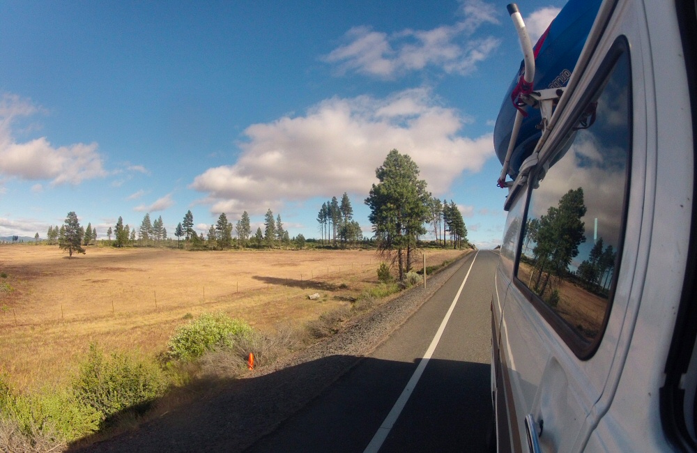
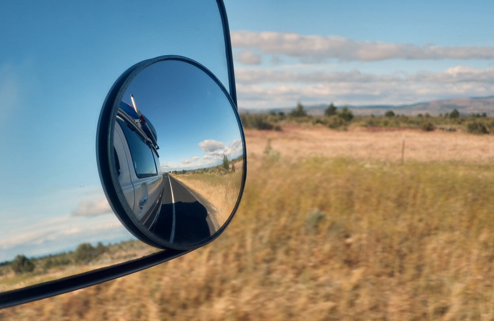
The Oregon Cascades Scenic Highway took us through the Deschutes National Forest, past lava flows and along more empty, tree lined roads. It’s not a place I’d fancy hitching. There’s nobody around! All the talk of an overpopulated planet is a little harder to understand out here. Makes you realise quite how much humanity has flocked to urban centres.

In Bend we stopped off at a bike shop to get an idea of where the best riding spots are (Bend has a reputation for being a biking mecca), to get a real coffee and to check in on some emails. We’ve had zero phone reception for days. No phone reception and no traffic would mean a long bike ride to get help if we had any trouble with the van… but a lot better than the same distance on foot!

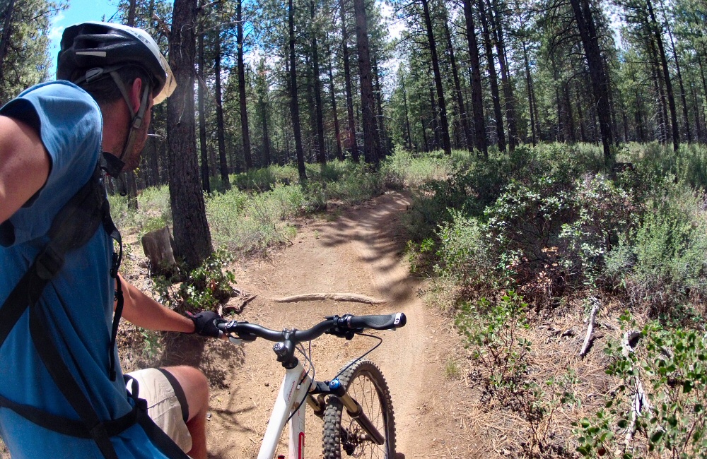
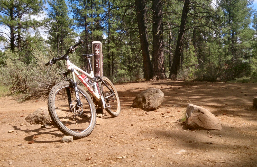
Spent a couple of hours riding in the forest just above Bend; from Phil’s trailhead. There are a load of marked trails here; some of them one-way so you can really crank it. Not especially technical, but very flowy, so it was lots of hard pedalling. I felt the altitude, but otherwise not in bad shape. Out on the trails I met a couple who’d come down from Seattle for a few days biking holiday, and a guy who’d moved to Bend from Idaho 6 years ago and says “it’s the best thing he’s ever done”. Otherwise it was pretty empty. Great to be back on the bike in the dust.

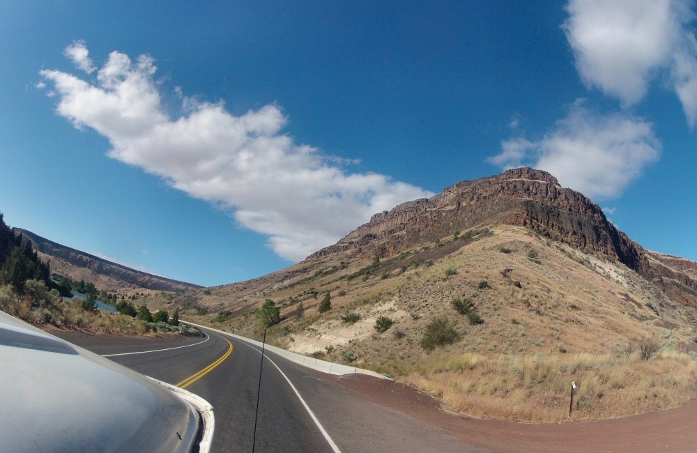
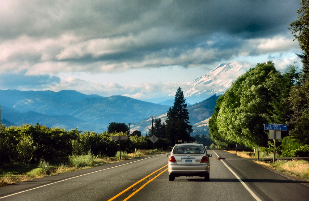
From Bend we headed north through Madras and over the Warm Springs Indian Reserve. I’m not quite sure what an Indian Reserve is; all we saw was lots of open land and yet again, new and impressive scenery. Beyond the Indian Reserve we headed up into the hills, into the cloud and rain again, before going over the summit at Barlow pass and down the Hood River gorge in the late afternoon light.

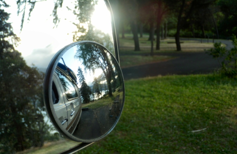
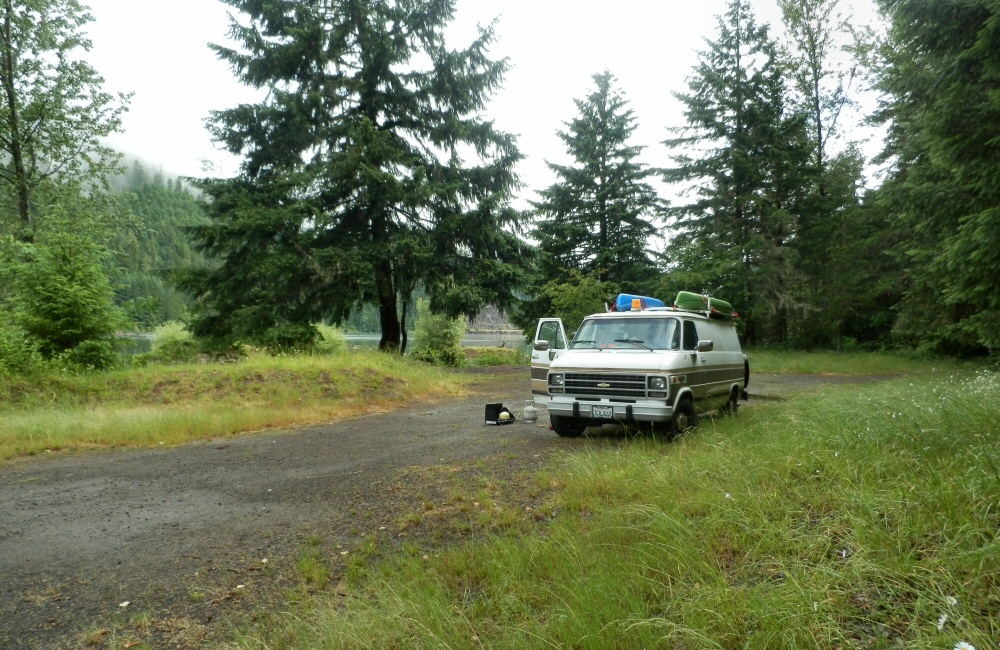
A shower was on the to-do list for today so we found a State Park campsite just along the freeway from Hood River (the town), at Memaloose. This place is windy! I was expecting wind since it’s one of the world’s top kite surfing spots, so shouldn’t really have been surprised. A train track ran along the bottom of the campground, so every hour or so during the night there was a thunder of engines followed by the rumble of hundreds of rolling stock going past. I (as usual) slept through everything but Rose found it a bit harder.

DCIM100GOPRO DCIM100GOPRO OLYMPUS DIGITAL CAMERA OLYMPUS DIGITAL CAMERA OLYMPUS DIGITAL CAMERA OLYMPUS DIGITAL CAMERA OLYMPUS DIGITAL CAMERA DCIM100GOPRO 06-17 Bend Phils Trail 2 OLYMPUS DIGITAL CAMERA 06-17-01-Hills-Creek-Lake-camp

Into Oregon

We’re sitting in the van, in the rain, near what I think is Hills Creek Lake, just south of Oakridge. I’m not 100% sure though. We’ve come over the top of the mountains from the south on an unpaved road, with only a national road atlas to go by. We’re definitely in Oregon, anyway. I thought that this atlas would only show the major roads (Oregon is about 12 inches top to bottom on the paper), but when it comes down to it on the ground, there really are no other roads here. It’s pretty wild. The atlas shows when roads are paved or not, and there’s not a lot of options between gravel and the interstate freeway.

So anyway, we had our second night in Lassen and then headed back into the park on Sunday to have a look at Bumpass’s Hell hot springs area. Now that’s more like it; lots of big, bubbling pools, steam and hot ground. Definitely tops my list of geothermal sites. No molten lava though. I might end up having to go to Hawaii for that.

DCIM100GOPRO OLYMPUS DIGITAL CAMERA

We had an early start, and were out of the park by mid-morning. As we dropped back down into the valley towards the I5 (Interstate #5) the temperature soared. Hot, sticky vinyl seats, sunburnt driving arm, windows open for breeze, dehydrating more and more every minute… We stopped off to buy provisions and a few things on the “left it at home” list- stuff like a chopping board, cutlery, washing up bowl.

OLYMPUS DIGITAL CAMERA

Onward. Northbound we rounded Mount Shasta, leaving it to starboard in a rush of gasoline fumes and noise. It was one of the places I’d wanted to spend some time around, but with our tighter schedule due to van repairs, we had to move on.

OLYMPUS DIGITAL CAMERA DCIM100GOPRO

Lava Beds National Monument seemed like a good place to stop for the night, so we headed off the highway and soon found ourselves buzzing along a gravel track, kicking up a right dust storm behind us. The road went on. And on. And on. Hmmn. Our fuel gauge was hitting the red and we were still deep in wilderness. Not ideal. At a cross roads just 4 miles away from the Lava Beds area we found a “road closed” sign which meant that we had to take a longer way round, and meant we’d miss the stuff we’d come for, including lava tubes that you can explore in. And it meant that we were touch-and-go with fuel. We emptied the 2-gallon spare into the tank and crossed our fingers. Eventually we crept into the small town of Tulelake, where the local store was still open and also had some gas. Result!

OLYMPUS DIGITAL CAMERA OLYMPUS DIGITAL CAMERA

We trucked on, over the Oregon border, up past Klamath lake and found a nice quiet spot just off the road on a “winter recreation area”. I couldn’t quite figure out what this was; a large expanse of concrete with a winter shelter at one end. I think it’s where people park in winter before heading into the back country on show shoes, skis or snow mobiles. No snow around there now.

Wow, so that was all just yesterday.

This morning we continued north to Crater Lake National Park – Oregon’s only National Park. The ring round around the lake was shut; so we had to continue on the main road which did run along the western rim for a bit so we did get to see the awesome views. The deepest lake in the USA at over 500m, and also the clearest water; they say algae grows over 400 feet down! It was cold up there though; still snow drifts metres deep, and frost on the windward side of the trees.

DCIM100GOPRO OLYMPUS DIGITAL CAMERA OLYMPUS DIGITAL CAMERA

We only stopped for a few photos, then headed on to Toketee falls. Toketee means “pretty” in Chinook; they certainly were. The walkway stopped high above the plunge pool, I hopped over the barrier and scrambled down to the water for a very quick, very fresh swim. Such a beautiful spot; shame it wasn’t warmer.

DCIM100GOPRO

Next was a spot supposedly just 4 miles up the road; Umpqua hot springs. After at least half an hour and many miles into the mountains later, we still hadn’t found it. On the way back down we spotted a sign in marker pen pointing up a road we’d not yet tried. Someone trying to keep the hot springs secret!

Not far down the bumpy gravel road a chap was sitting at the side of the road with a broken motorbike. His chain had come off and a load of links were bent. I stopped, we had a wrestle with some tools to the point where it looked like he could at least limp back to the main road. We left his bike by the side of the track, he hopped in the van and we headed up to the springs together. A bunch of folk were living there full time, in tents by the river. The springs themselves were 4 or 5 separate pools perched on the edge of a cliff, the hot water feeding the top pool. Each pool further down was a little cooler than the one above it. Nice to have a soak for a bit.

Jim (with the motorbike) decided that he could probably make it back to Eugene to get a new chain on his own, so we left him to it. He ended up leaving his towel in the van; luckily he’s from Vancouver so we’ll drop it off in a few days’ time.

Just half an hour later we were on gravel tracks again, heading north, aiming for Oakridge. This time we made it all the way over the mountains without any closed roads or fuel scares, and here we are by the side of Hills Creek Lake, bellies full of steak sandwich. I’m pretty sure it’s Hills Creek Lake. We’ll find out tomorrow!