Capitol Reef

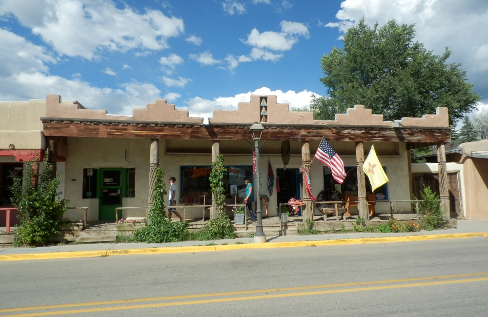
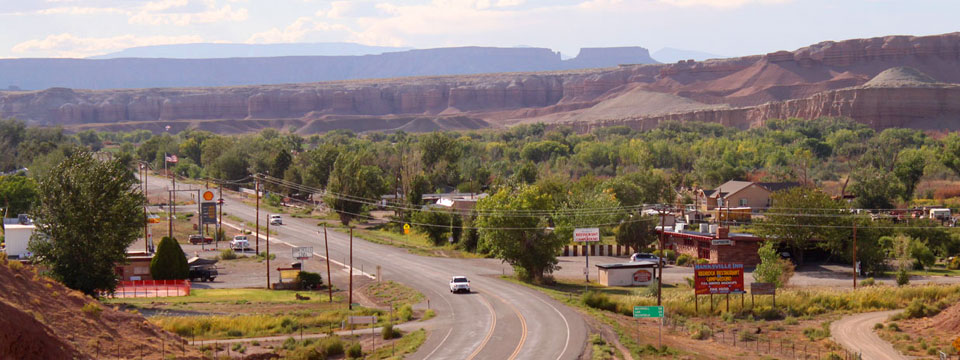
It’s quick and easy, but breakfast in camp every day doesn’t really give us the experience of seeing local places. So today we stopped at Duke’s Slickrock Grill in the small town of Hanksville, deep in the middle of Utah for a classic American breakfast – pancakes, eggs, maple syrup … the works.

08-27 Hanksville
Hanksville and Duke’s Slickrock Grill (photo from Google)

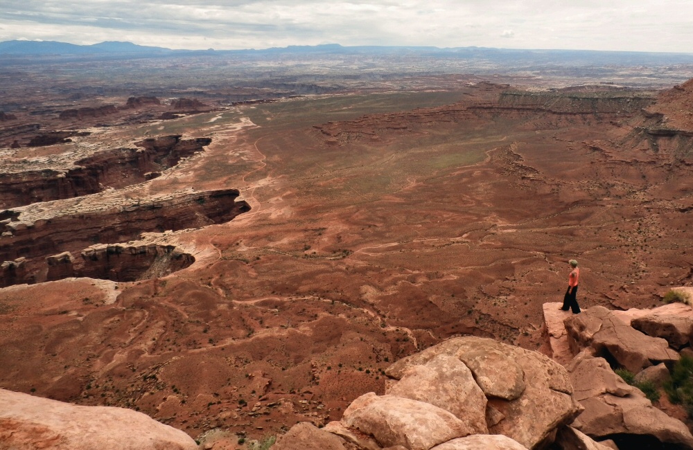
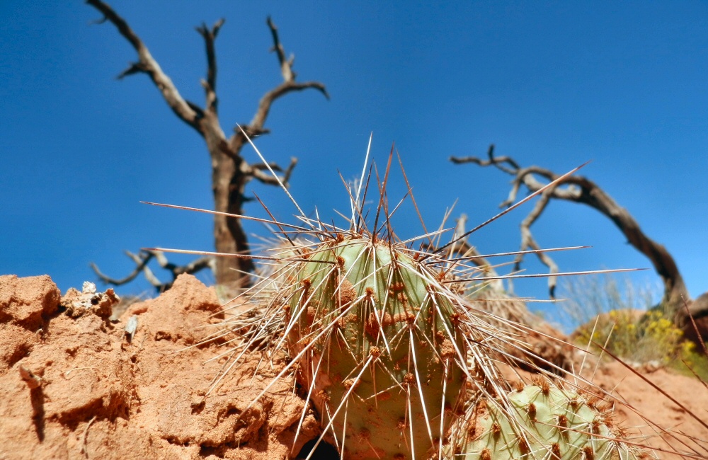
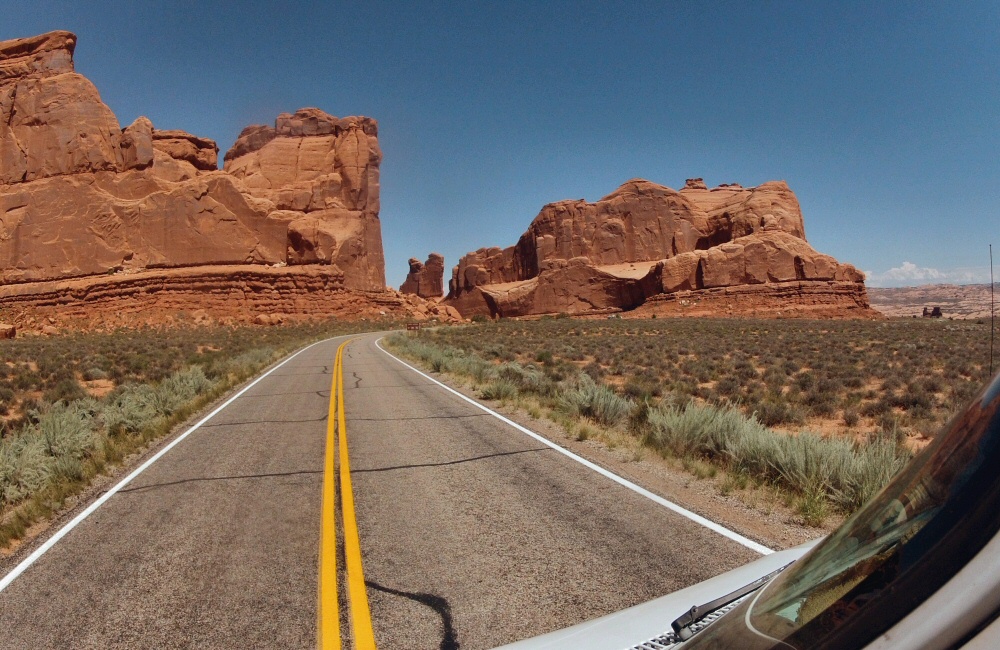
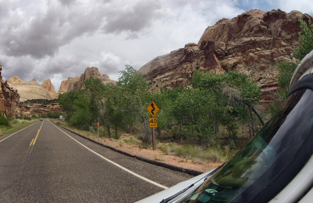
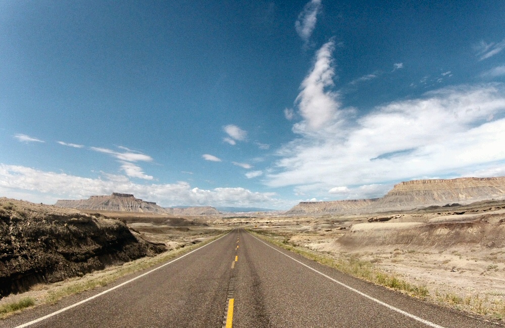
Not much further down the road is Capitol Reef National Park – running north/south along a geological formation called the “waterpocket fold”. More impressive from the air than from the road, it’s still pretty awesome. So many different colours of rock and sand in one place.

Dramatic driving, Fruita, Capitol Reef NP
08-27 Capitol Reef petroglyphs
Petroglyphs in the Fruita area of Capitol Reef

08-27 Dry ground 08-27 Utah road

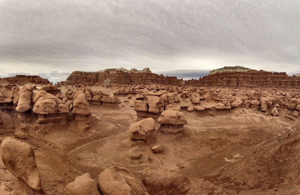
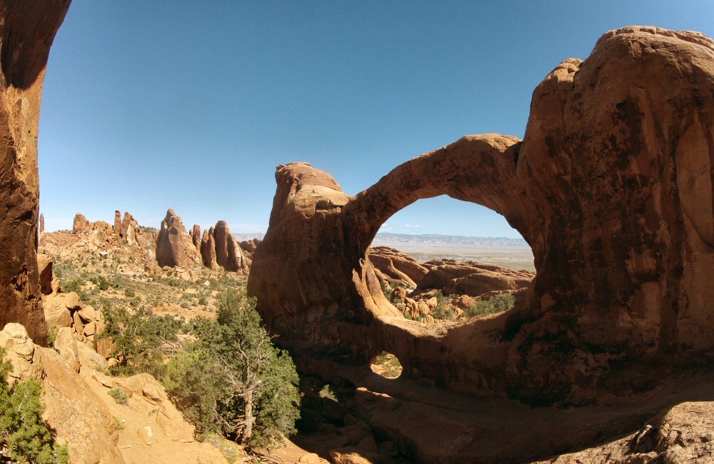
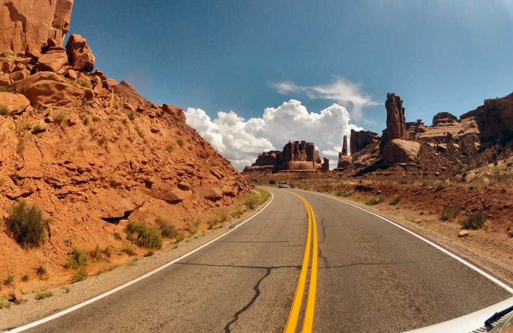
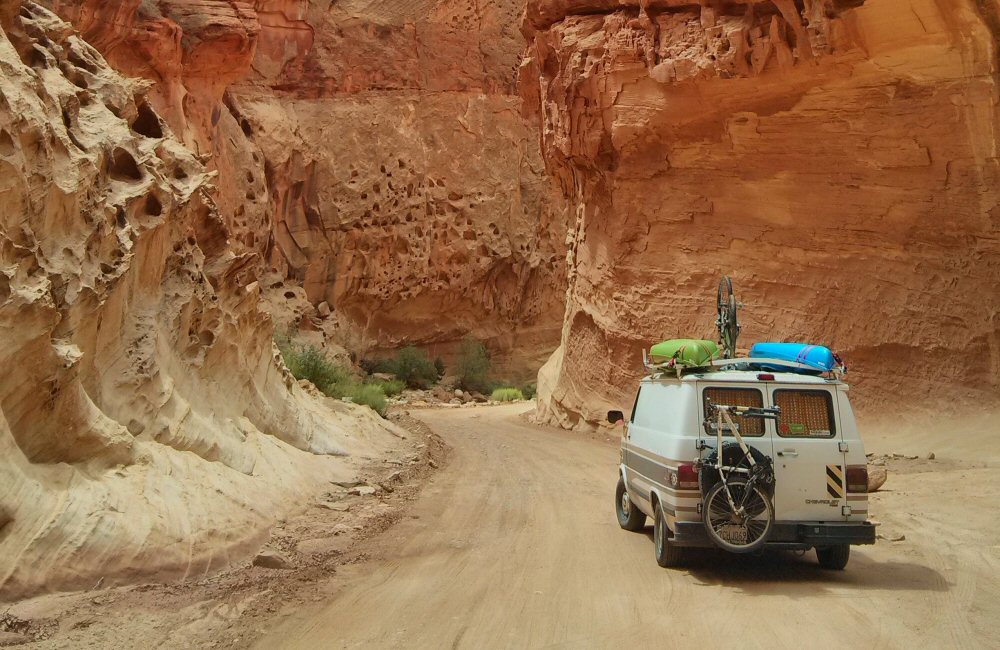
We headed down the short 20 mile scenic drive which dead-ends at a dirt track in Capitol Gorge (pic by Jon).

08-27 Capitol Gorge

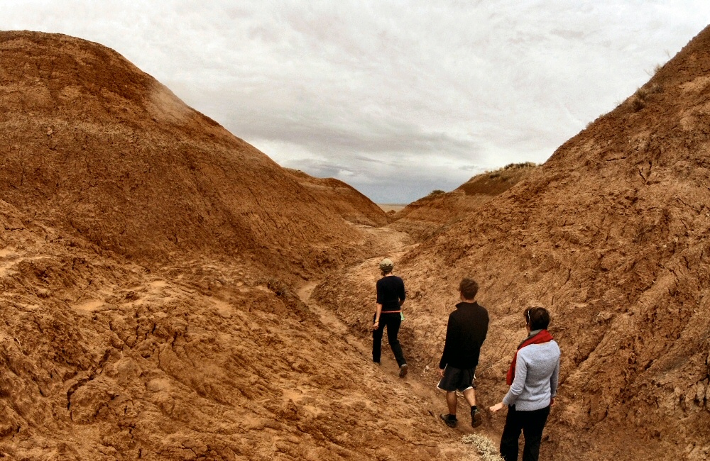
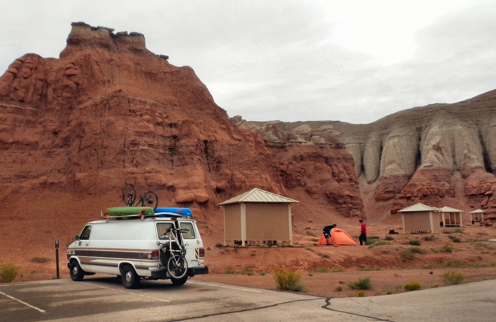
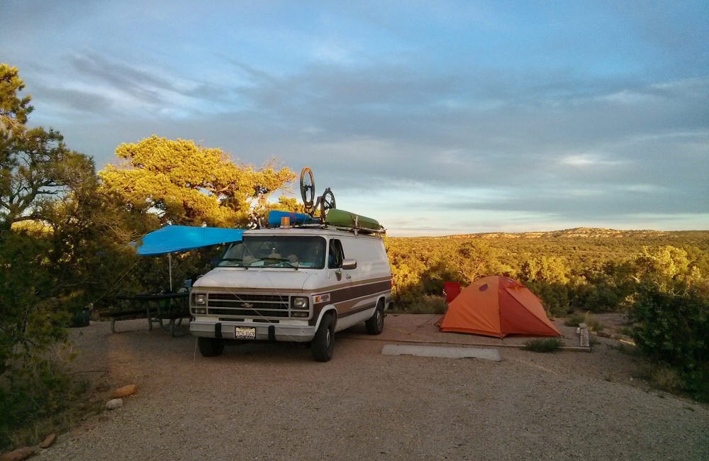
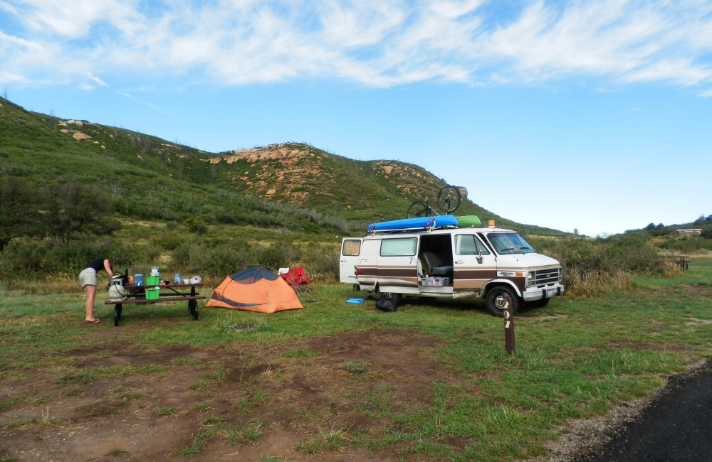
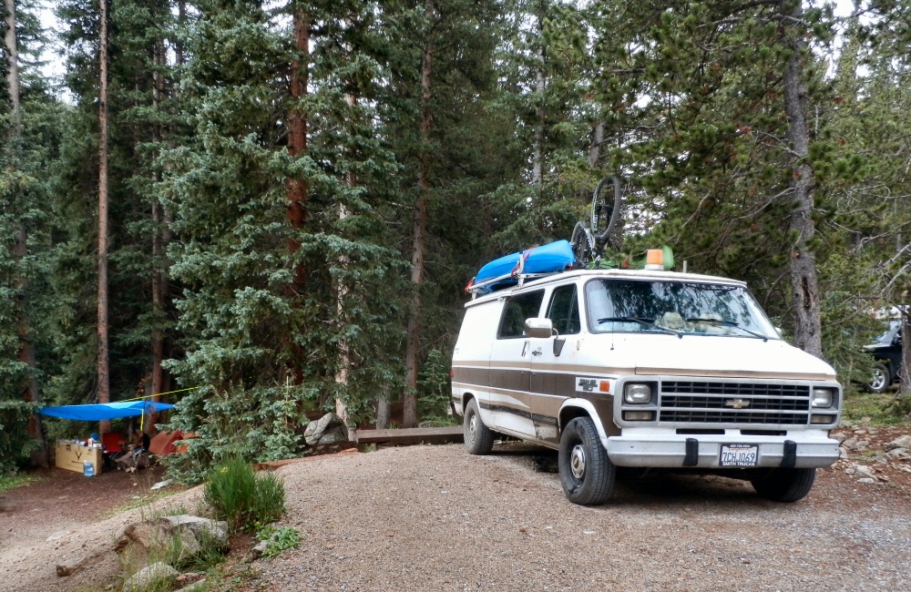
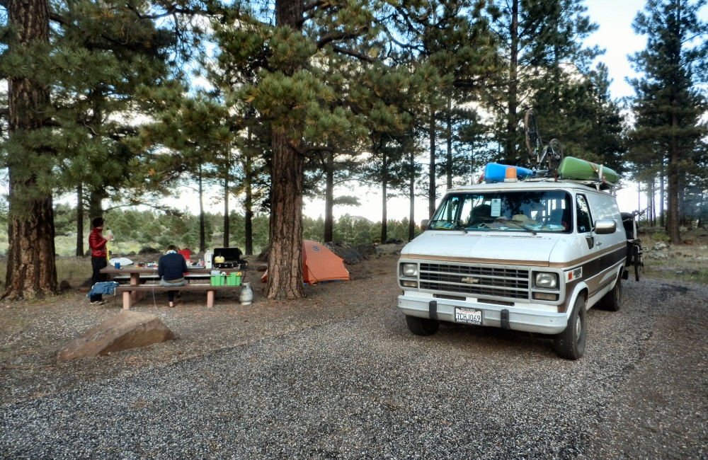
Back on the main road just outside the park, we grabbed some lunch and did a round of laundry in Torrey, before heading south and up into the hills. Trees! We haven’t seen trees for days… “Scenic Highway 12” winds along through aspen and pine forests, ending up in the Grand Staircase Escalante National Monument – a huge expanse of rock, canyons and more Utah epic-ness – but that’s tomorrow’s drive. We pitched camp in the Dixie National Forest, Singletree campground, at about 9000 feet, and got down to “craft night”. Rose had found some instructions for making some dream catchers, and we’d bought thread, wire and beads in Denver.

08-27 Making Dream Catchers 08-27 Singletree camp Dixie N Forest Utah

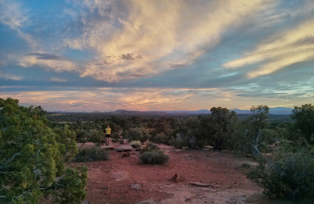
As the sun went down, so did the temperature. We talked late into the night, huddled round the camp fire under a cold, clear, starry sky, dream catchers hanging in the trees, protecting us from those nasty dreams…

Canyons and Goblins

Canyonlands. Wow. I’m running out of ways to describe yet more amazing scenery. The view stretches for miles and miles and miles – from the overlook on the end of the mesa above the confluence of the Green River and the Colorado River. Each geological layer is clearly visible, and a 100 mile 4WD track called white rim trail runs all the way around the park – it looks tempting – the van can handle a lot of off road stuff, but we’ve not got the 3 days it would take, and we probably would get stuck. We’re not set up for real off roading. A trip to save for the bucket list.

08-26 Canyonlands overlook 08-26 Canyonlands Mesa Arch

Starting to feel a little jaded by endless expanses of rock and huge views, we didn’t spend long in the park … and with a fair bit of distance to go to the next stop, we headed off early afternoon. After a long drive around the top of the Canyonlands, we turned off the desolate, empty highway to Goblin Sate Park just in time to avoid a monster thunderstorm. Pulled over on the side of the road, we watched the lightning sizzling into the ground no more than a mile away.

08-26 Utah storm

Goblin Valley; hat a crazy place. Day after day we’re coming across rock and sand formations like nothing we’ve ever seen before – this place is definitely the most bizarre yet. The soft sandstone has eroded into lumps, pillars and hoodoos that really do look like goblins. When the rain stopped, we walked a mile and a half from camp along a muddy ravine to the Goblin Valley, where we spent a couple of hours exploring the weird landscape.

08-26 Goblin Valley DCIM100GOPRO

This campground has a little cabin for each site – protection from both sun and rain. More RVs than tents, which meant people with noisy generators, including our neighbours who spent the evening watching a movie with theirs running until late in the night. Still a pretty awesome site, surrounded by crumbling sandstone cliffs and buttresses, a bit like being in a huge inside-out gothic cathedral.

OLYMPUS DIGITAL CAMERA

Arches National Park

Excited to check out the rocks in the dawn light, I got up early and explored while others slept. The sandstone is perfect for scrambling around on – in bare feet it’s got almost limitless friction, and you can get up high onto outcrops and into arches all over the place.

08-25 Arches skyline 08-25 Arches dawn 08-25 Arches dawn Skyline arch

Before it got too hot, we all walked the Devils Garden loop – a 6 mile hike/scramble through yet more mind blowing scenery just to the north of the campground. I was surprised at how technical and sometimes exposed the trail was. Normally Americans put barriers and signs up all over the place, but out here it’s just a few cairns marking the trail along thin arêtes, down steep sandstone faces and along precipitous edges.

08-25 Devils Garden hike 08-25 Landscape arch 08-25 Double O Chris n Rose 08-25 Devils Garden hike 01 08-25 Desert life 08-25 Arches Devils Garden 08-25 Arches Double O 08-25 Chris n Rose 08-25 Arches Double O low

Everyone has to come here at some point in their life. It’s incredible.

08-25 Devils Garden panorama

Starving after our expedition, we rustled up a gourmet egg muffin lunch at the picnic site, trying to tuck under the shade of a tree in the baking heat. Then back into Moab for fuel, and onwards to Canyonlands!

08-25 Arches road 08-25 Arches road 01

We found a peaceful camp spot at Horsethief campground, just before the entrance to the park, set up the tarp as an awning, chilled out for the afternoon and then wandered off into the desert for an incredible sunset. A couple of photos from Jon:

08-25 Horsethief camp 

Slickrock Trail and Arches NP

Jon and I got up just after dawn, to ride the famous Slickrock Trail before the sun got too hot. Though it wasn’t our first experience on slickrock – that was last night – it was an awesome loop, 10 or so miles over grippy, rolling rock, following the painted white dashes. The views over the Colorado River were amazing in the early light. By the time we got back to the van it was scorchio-hot, I wouldn’t want to do this in the middle of the day!

08-24 Slickrock Jon 08-24 Slickrock Jon view 08-24 Slickrock trail gully

We’d run out of food again, so we stocked up in the supermarket. We can fit about 3 days’ worth of fresh food in the fridge, after which we have a couple of meals of non-perishables, and then need to find a shop again. We’re eating out now and then, but generally cooking in camp. Heading north out of Moab we drove into Arches National Park, only a few miles out of town. The plan was to head straight to campsite which was shown as being full, but in the past we’ve had success finding a space where someone had cancelled, or the rangers hadn’t quite got things right. This time it really was full. It’s a small site and all the pitches are reservable, and it supposedly fills up months in advance. But Rose chatted up the camp host and he let us stay in the group area – result!

08-24 Arches camp

The arches park is stunning. Driving in from the visitor centre you climb a steep, twisty road between huge red walls of rock, overlooking the Moab geological fault which created the valley below. Even though the whole town is surrounded by rock, cliffs and desert, it still feels like you’re entering a different place. The ochre coloured walls are so steep, so big and such a strong colour. Amazing shapes everywhere – not just arches. After a while you think you’re getting desensitised to incredible scenery, but then something comes along that sets the barrier even higher – the Arches National Park is one of these places. We explored a few spots, took a bunch of pictures and soaked it all up.

08-24 Arches panorama

The classic sunset Thing To Do is to hike up to Delicate Arch, Utah’s state symbol, which catches the setting sun. It’s a mile or so away from the parking lot, but even though it’s a strenuous walk there were crowds of people up there waiting to get their own classic photo. It’s an impressive amphitheatre of rock, with the arch sitting on the back rim. Mr Sun wasn’t playing ball tonight though, and tucked behind a big bank of storm cloud early in the evening, so no glowing gold sunset for anyone.

08-24 Delicate arch 08-24 Delicate arch muppets

Back at camp, it got really windy which meant no camp fire, but on the plus side also meant no mosquitoes. The sky cleared up to reveal gazillions of stars. I love the night sky in the desert – usually with no trees around you get a good view of the whole hemisphere – and you’re miles away from any bright city lights. We’ve not had a moon for the past couple of weeks, so the night skies have been sensational.

Moab

Maybe the most picturesque campsite yet? We woke to amazing views – colossal sandstone cliffs forming a cove around the camp, and dry, scrubby desert stretching out to the horizon. Somewhere out there is canyon country! We spent the morning scrambling around, testing the limits of friction on the steep, grippy rock.

08-23 Wind Whistle 08-23 Wind Whistle climb 08-23 Wind Whistle camp Utah 08-22 Windwhistle jumpers

As we were only a few miles away from the Needles Overlook – a viewpoint perched high on a cliff above the Canyonlands National Park, we made the detour. Woah. Huge. While not as deep as the Grand Canyon, the views out over the Canyonlands are supposed to be just as impressive, and the distances to the far side are greater. It’s so arid. Just crumbling rock and sand for miles and miles. So much to look at, it’s impossible to soak it all in.

08-23 Needles Overlook Canyonlands

The drive to Moab was exactly how I’d expected Utah to be – lots of open scrubby desert, big rocks and awesome scenery. Just like the whole of the rest of the trip, every minute on the road has been interesting in some way or another. There’s just so much to look at and soak in, even out here in the desert. It’s only when we double back on ourselves and drive the same road again that we get the opportunity to focus on anything other than gawping out of the windows. We passed Wilson’s Arch on the way into town and of course scrambled up there too.

08-23 Wilsons Arch Moab

After setting up camp in town at Slick Rock Campground, the temperature had dropped a bit so we headed out for a ride at the “Bar-M” trails area just north of town, ending up doing the Circle-O loop – following a painted line on the slickrock for a few miles. A big storm was drenching the Arches National Park and the El Sal mountains to the south, but it rolled on past without hitting us.

08-23 Rose Circle O 08-23 Circle O

Moab is perhaps one of the world’s most famous mountain bike towns, mainly due to the unique, endless slabs of rock surrounding the town. Not only is this place a mountain bike mecca, it’s also a top spot for 4-wheel-drivers and off-roading, river rafting and general outdoor adventures – but not a place I’d like to live. Too hot in the summer, and not much else going on as far as I can tell.

08-23 Slickrock

Mesa Verde National Park

Helen wasn’t feeling so good, so we left her and Jon at camp while Rose and I explored the cliff dwellings of the park – Long House in the morning, Balcony House in the pouring rain, then in the evening, as we were the only two people, with our very own guide we explored Cliff Palace. Wandering around these ruins was much like the experience in the Mexican ruins a few years back. Clearly there has been a lot of “restoration”, since early photos show many of the sites as piles of rubble – which makes it feel a bit like you’re walking around a prepared, packaged exhibition rather than an original, ancient site. But without restoration, you wouldn’t get the same idea of what the villages used to be like, and tourism probably wouldn’t even be possible. Impressive, nonetheless. Yet another unique experience!

08-22 Mesa Verde Long House 08-22 Mesa Verde Cliff Palace 08-22 Mesa Verde

We picked up Jon & Helen and trucked on towards Utah. We’d not had an American diner meal together, so we stopped off for dinner at Denny’s in Cortez where we met a friendly local called Steve, who lives on a small ranch nearby with his wife – having moved from Boston seeking the simple life. Another late night drive – we’ve hardly done any driving after dark in months – took us over the border into Utah. It’s very, very dark at night out here. No street lights, and pretty poor van lights means that we only get to see a small patch of yellow tarmac for a few hours – with a huge flash of lightning every now and then in the distance. We’ve been able to see thunderstorms somewhere on the horizon pretty much every day. So we turned up at a campsite a 6 miles down a small side road, in the dark. With my powerful bike light we could just make out the huge, red rocks looming over us. What’s it going to look like in the morning?

Durango

I got up early and wandered down to the lake overlook. Not much of a lake really. The water had clearly been much, much higher when the local maps were made, but now there was not much more than a pond sitting in the bottom of the valley. Back into Colorado, where we stopped at Durango, another mountain bike hub. First port of call was a place called Steaming Beans for coffee and internet catch-up, and to make plans for the next few days with the maps and guide books out. Jon and I tackled another of Colorado’s Top Ten Rides – a double black diamond rated route up onto a ridge and down a super rocky, technical descent – more like trials riding than mountain biking, with a huge vertical drop into the valley below if you get it wrong. So not many pics.

08-21 Durango ride 08-21 Durango ride 2

At the top we met a couple of locals, Andy and Ivan, who showed us some more awesome riding over the back of Horse Gulch and Telegraph Hill, including an epic swooping twisting downhill called Sidewinder. We met the girls for dinner at Steamboat brewery, then piled back into the van for a late night drive to Mesa Verde National Park, where we camped.

08-22 Mesa Verde park

Sand Dunes and Taos

Monday and Tuesday

South again, to Sand Dunes National Park. A dramatic drive across huge, open plains with the Sangre de Cristo Mountains rising gradually from the valley floor on the left. In the distance, nestled at the foot of the hills, we could see the sand dunes as we approached. All the sand from the surrounding mountains gets washed into the valley, then the regular strong wind blows it all down to the corner where the huge dunes form. We set up camp, waited for the sun to chill out a bit, then hiked up the dunes to watch the sunset. Way across on the other side of the valley, a couple of thunderstorms were rolling southwards, making for a pretty atmospheric evening. We decided that we liked this camp so much that we’d stay another night, so we spent a day relaxing, reading, and had a wander up the river that runs along the foot of the dunes.

08-18 Sand Dunes National Park 08-18 Sand dunes road 08-18 Sand Dunes National Park camp 08-18 Sand Dunes National Park bug 08-18 Sand Dunes National Park team 08-18 Sand Dunes National Park jump

Wednesday 20th

Into New Mexico! We weren’t originally planning to come this far south, but on recommendation from Ben and Rosie, and with a pinch of wanting to bag an extra state, we thought we’d pop over the border to Taos. The drive to Taos took us past a load of random homesteads – families set up for remote, desert living. Some really run down, and some clearly belonging to old hippies that have been here for a long time; from school buses converted into houses to smart solar panelled eco-dwellings made from adobe and glass. We stopped in Taos for lunch, had a look around at the numerous galleries and bought a couple of souvenirs. We decided that there wasn’t much extra to be gained from staying for a night, so we turned back on ourselves, over the impressive Rio Grande Canyon, and on towards Durango. With hindsight, and reading the guides, we should have stopped in at Taos Pueblo just north of Taos – the longest continuously inhabited settlement in America – but we just drove by without knowing about it. Should try to read up a bit further ahead.

08-20 New Mexico border 08-20 Taos New Mexico

A long drive through Carson National Forest brought us to a campsite at Heron Lake State Park – a pretty much empty gravel site on the edge of a lake.

08-20 Heron Lake camp

Monarch Crest and Salida

Rode another of Colorado’s top ten trails this morning – the start of the Monarch Crest trail, and then breaking off left down Fosse Creek. Rose wasn’t riding, so she took the van round to pick us up at the bottom, which meant a short bit of climbing for us – with stunning views – and then 9 miles of downhill. Probably the best ride I have ever had in my life. Real mountains, dry, dusty trail, incredible scenery, fast technical downhill that just went on and on and on. Two more pinch punctures – I’m getting good at quick tube changes!

08-17 Monarch Crest Trail Jon 08-17 Monarch Crest Trail Helen 08-17 Monarch Crest Trail Helen 02 08-17 Monarch Crest Trail Chris 08-17 Monarch Crest Trail Helen 03 08-17 Monarch Crest Trail Fosse col 08-17 Monarch Crest Trail Puncture

Colorado definitely deserves its title as the mountain bike centre of the world. There are so many amazing trails – we’re only managing to scratch the surface. It feels awesome to have been able to get a taster – I wonder if I’ll ever be back?

Time for a shower, which meant heading east into a small town called Salida to find a motel. In the afternoon, we wandered round the place, did a round of laundry, and then had a meal out. Salida is yet another Colorado mountain bike town – filled with a mix of hippies, cyclists and old timers. Met a couple in a cafe who are cycling down from Montana to Mexico and had a quick chat.

Crested Butte

Friday 15th

Drove up over Cottonwood Pass – the highest the van has been so far on this trip, an altitude of over 12000 feet. And then all the way down the other side to Crested Butte, one of Colorado’s many mountain bike towns.

08-14 Cottonwood pass 08-15 Taylor Lake


Introduced J&H to The Great American Breakfast at Paradise Café, then headed on up into the hills through Mount Crested Butte, to find somewhere to spend the night. Found a wild National Forest site, perched on the side of Gothic Mountain, along a bumpy dirt track. I’d spotted that the local ski centre was doing free chairlift rides in the evening, so we all had a few hours riding the downhill trails of the bike park. Thunderstorms around the local hills meant that the usual free-Friday night crowds weren’t around, and it wasn’t too hot. My bike is still just about holding together, it’s pretty old and tired now. No idea what I’m going to do with it when we go through the next phase of selling / giving things away in September, to thin possessions down for our trip south. I managed to get two pinch punctures during the evening, broke a tube valve, and a pump. Awesome riding though – typical bike park trails – a range of smooth swoopy berms and rougher technical bumpy stuff through aspen groves.

08-15 Gothic pass camp 08-15 Gothic road sunset

Saturday 16th

We’d come up this valley to be near a trail called the “401” – one of Colorado’s ten best mountain bike rides. We took the van a short way further up the road and parked up. The ride starts with a couple of miles of tough climbing – a bit of dirt road and then singletrack to the high point at about 11000 feet. Pretty hard work riding at this altitude, but incredible scenery. Then perhaps 6 miles of downhill, skimming along the side of the valley, looking out over amazing views, swooping and twisting through chest-high wild flowers. They say that the height of the wild flowers is a prediction for the depth of snow that’s going to settle in the coming winter. Left Rose and Helen at the bottom of the trail while we rode back up the road to get the van.

08-16 Trail 401 07 08-16 Trail 401 05 08-16 Trail 401 04 08-16 Trail 401 02 08-16 Trail 401 03 08-16 Trail 401 01

There’s a load more riding here, but we need to keep moving. It’s the same story with everywhere we’ve been – it would be easy to spend days, even weeks, getting to know a place and meeting people, but with limited time, we’re choosing to just get a taster of each spot. So we headed on south through Gunnison towards Salida – over the top of Monarch pass then found a campsite nearby. I was just starting my shower out of the back of van when the rain clouds opened – Jon and Rose put the awning up. The rain didn’t last long, and by the end of the evening we were sat around the camp fire, burning the cardboard bike boxes that we’d been lugging around ever since J&H arrived.

08-16 Monarch Park camp