Thunder Bay

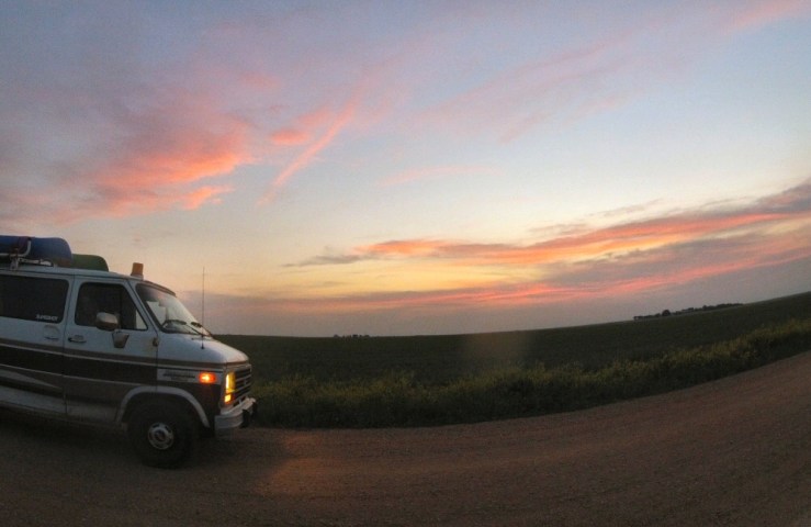
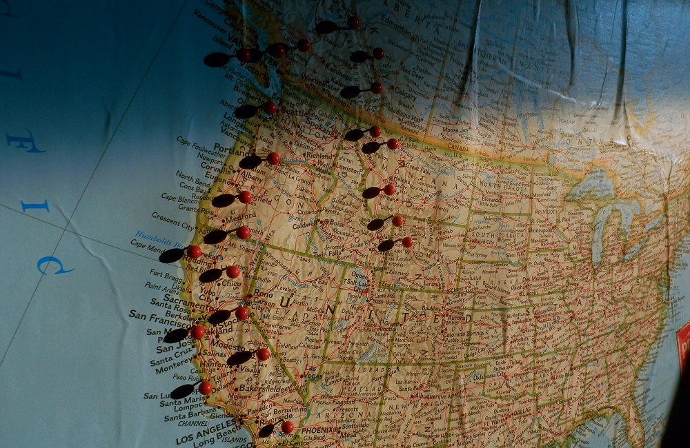
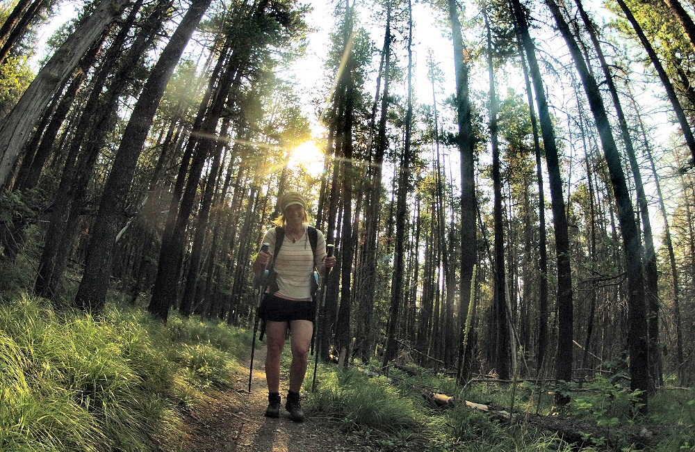
Back on the road! Over the last week we’ve been based in Thunder Bay, staying with Gerry and Julie (and kids) friends of Oli and Kate, who came over from Ottawa with their two young ‘uns. Being in company with lots of people and 4 kids under 5 has been a big change from just the two of us, but it’s been a great time.

Thunder Bay

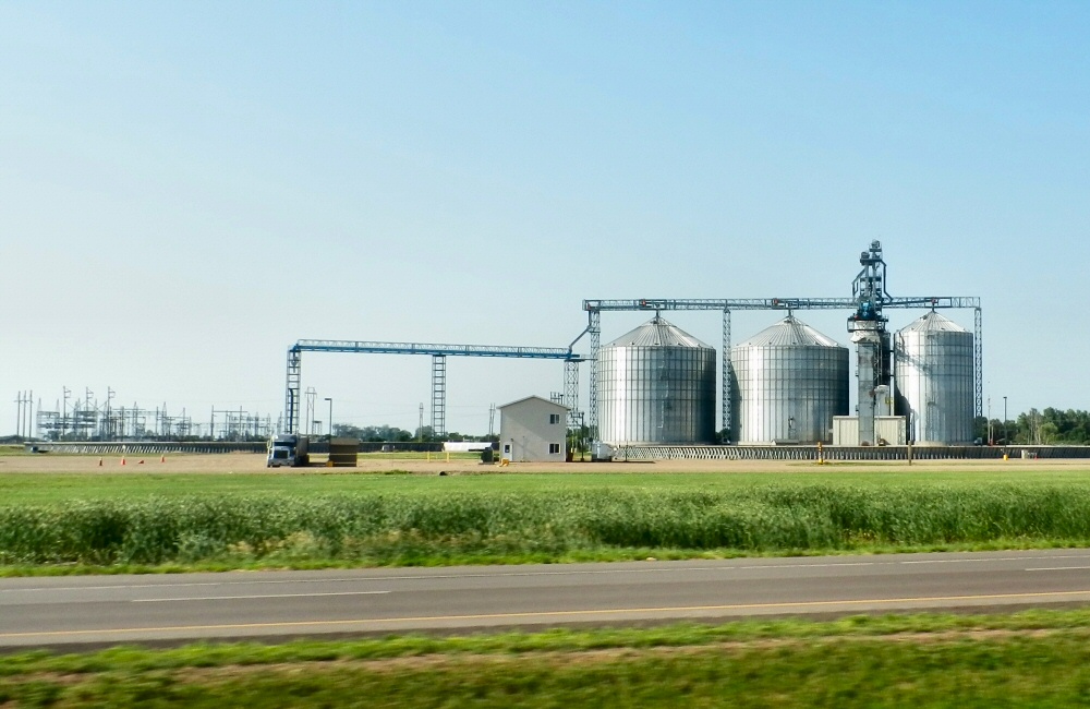
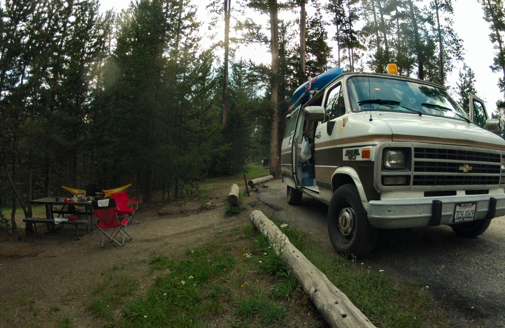
We drove up through Duluth in Minnesota, where we spent a night at a campground in town, and then caught up with the rest of the world for a short time at the library the next day. A few hours’ drive north east of Duluth brings us to the border with Canada, where (again!) we get searched, and have to abandon some firewood. I declared the mini pepper spray we got free with the big bear spray we bought a few weeks ago, which was confiscated as it could be a “concealed weapon” – the larger canister supposedly couldn’t be concealed so it’s OK…

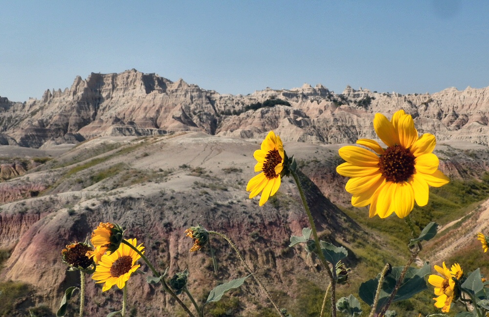
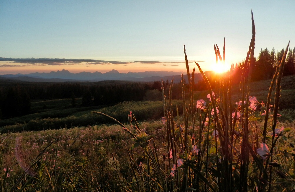
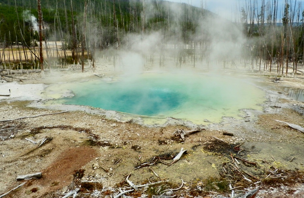
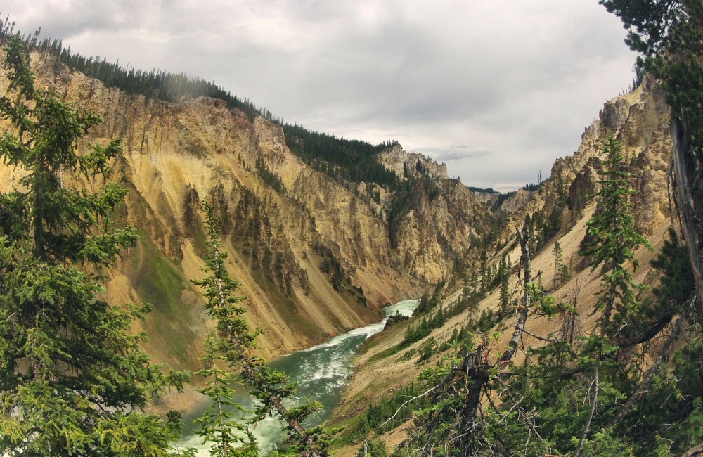
In the ten days or so we’ve been in Canada (I’m writing from the road on our way back down to Duluth in the US), Oli and I managed to get an evening of kitesurfing, Kate gave me a long overdue hair cut, we did lots of playing with the kids, the lads went on a canoeing trip, and we all spent a couple of nights camping on the north shore of Lake Superior at Neys Provincial Park.

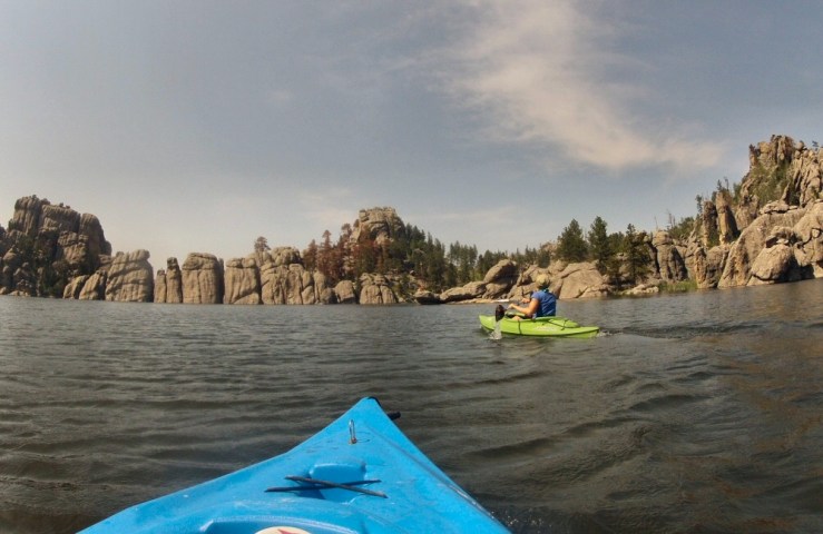
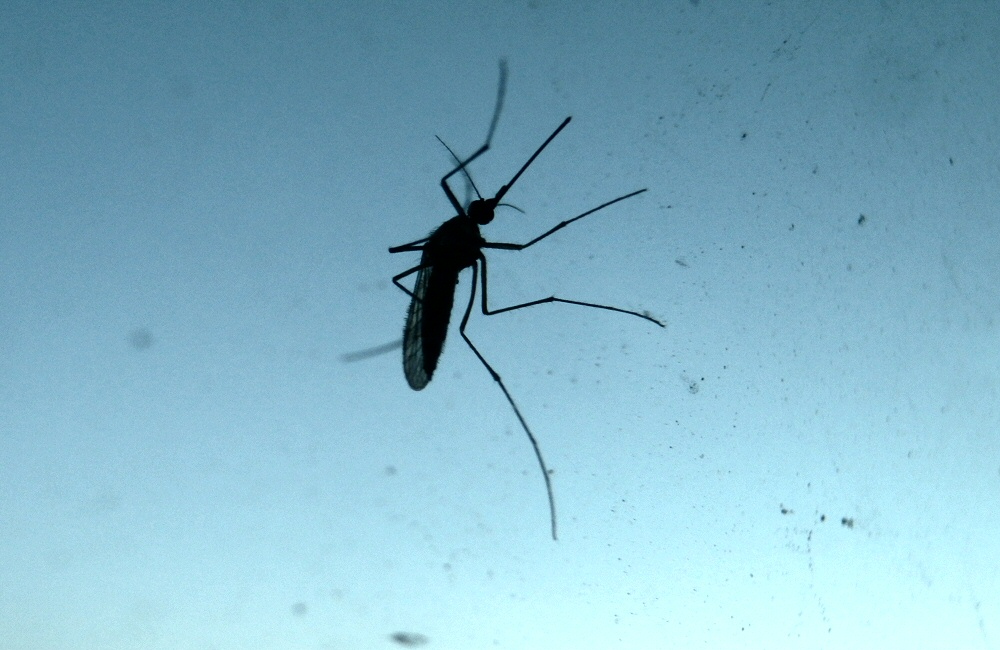
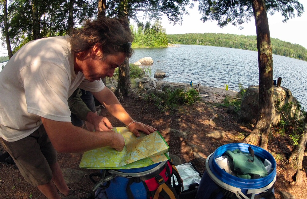
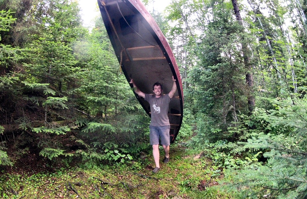
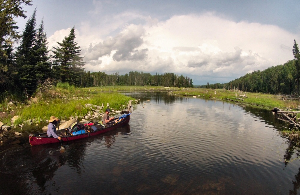
Our 3-day canoeing trip into Quetico park was a good bit of exercise, and a wilderness trip of a different sort from what I’m used to. Gerry and Oli took a regular canoe, which carried most of our kit, and I took one of the kayaks we bought last year. The 30 mile loop involved plenty of paddling and 9 portages – where we carry all the gear and boats overland between lakes, or around sections that are too shallow to float. The portages ranged from just lifting the boats past a small waterfall, to 1km+ hikes through the mud, forest and hordes of mosquitoes. Three days felt too short to really get into the lake country wilderness – we only just skimmed the north end of the park – someday I’d like to do a much longer trip. Gerry used to be a guide further north in Canada, taking groups into the middle of nowhere by float plane, and then spending a week or more paddling, camping, fishing and ending up on the coast at Hudson Bay.

07-29 Canoe route
Lerome to Nym Lake

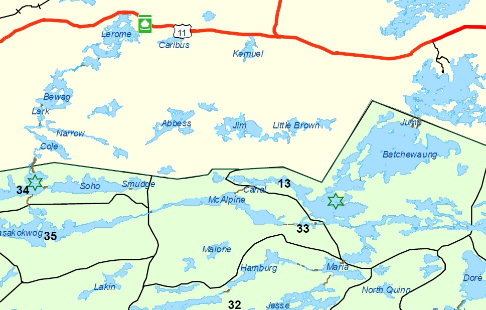
We put in at Lerome lake, just off the Trans Canada Highway, early afternoon on Monday, having picked up fishing and park licences from Atikokan. Then paddled through Bewag, Lark and Cole, with a few small portages, to reach the longer Sue Falls portage. From the bottom of Sue Falls we paddled a short way across Cirrus Lake (not labelled on the map above), to a sweet camp spot – marked with the green star. The breeze kept the bugs away as we cooked up steaks and corn in the setting sun.

07-28 Sue Falls 07-28 Planning

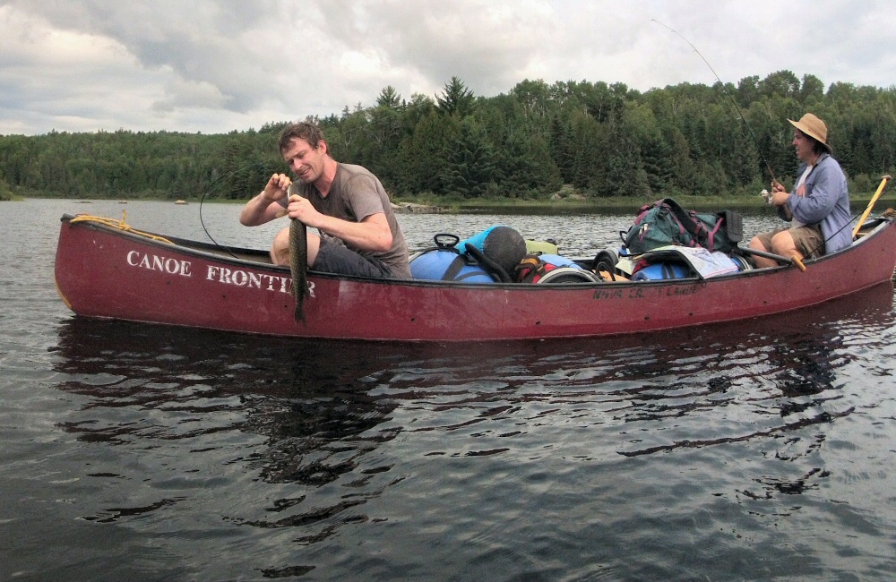
On day two we continued south over Cirrus Lake to the longest portage of the trip, over the hill to Kaskokwog Lake. Carrying boats and kit through the wet foliage sets the swarms of biting bugs in flight, and if you’ve got both hands full you just have to grit your teeth and watch them suck your blood out as you charge on as fast as possible to the other side. Once in Kaskokwog Lake, we drifted slowly downwind for a couple of hours, fishing and watching the world go by. We all caught pike, which went straight back in the water – not nice to eat.

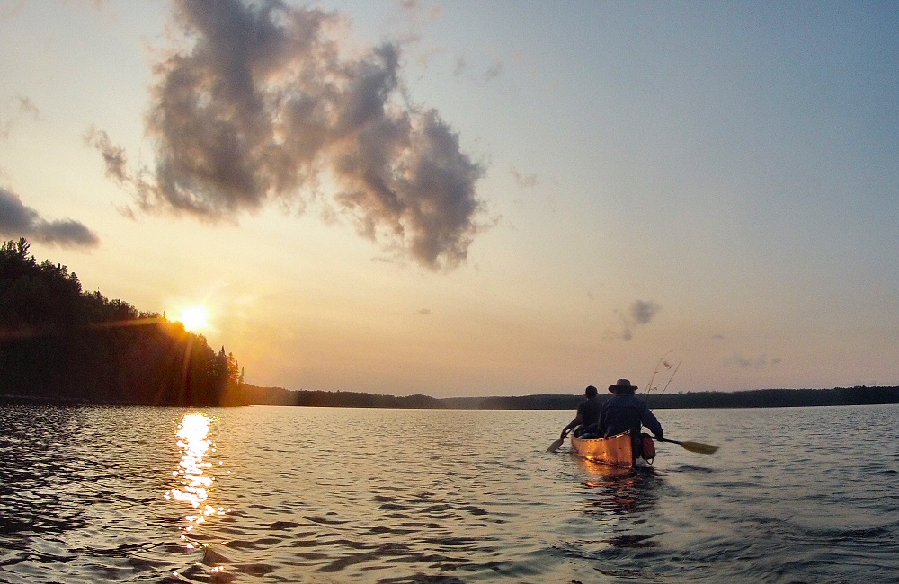
Thunder clouds marched over the sky in the afternoon, and as they approached the wind strengthened and changed to dead ahead, so we pulled into the side of the lake while the storms passed over. Heavy rain fell in front and behind us, but we got away with just a light shower, while Oli read the history of the park to us from the back of a map we’d found on the side of the trail. I hope the previous owners of that map had a spare … this is not a place to get lost! We carried on down McAlpine Lake and squeezed in a couple more portages before the end of the day (marked as “33” on the map). Emerging onto the water at the other end, we could see that all the obvious camp spots were taken, so we paddled around in the dusk, and then decided on a small island with what looked like a clear spot on the summit. Turned out to be a great site, with lots of wild blueberries to enjoy with breakfast.

07-29 Portage 07-29 Fishing 07-29 Canoe 07-29 Sunset lake 07-29 Sunset paddling DCIM100GOPRO

The third morning involved a paddle, a short portage onto Batchewaung Lake, and then a longer, but very well trodden, portage onto Nym Lake, and then a paddle into the wind across to the take-out (marked on the map above by the short black road at the very north east of the map). Gerry hitched to get the truck, we packed up and drove the 2 1/2 hours back to Thunder Bay to arrive in time to put the kids to bed.

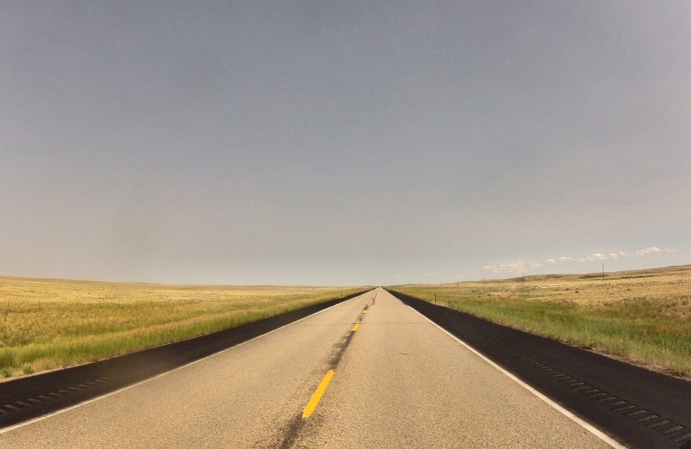
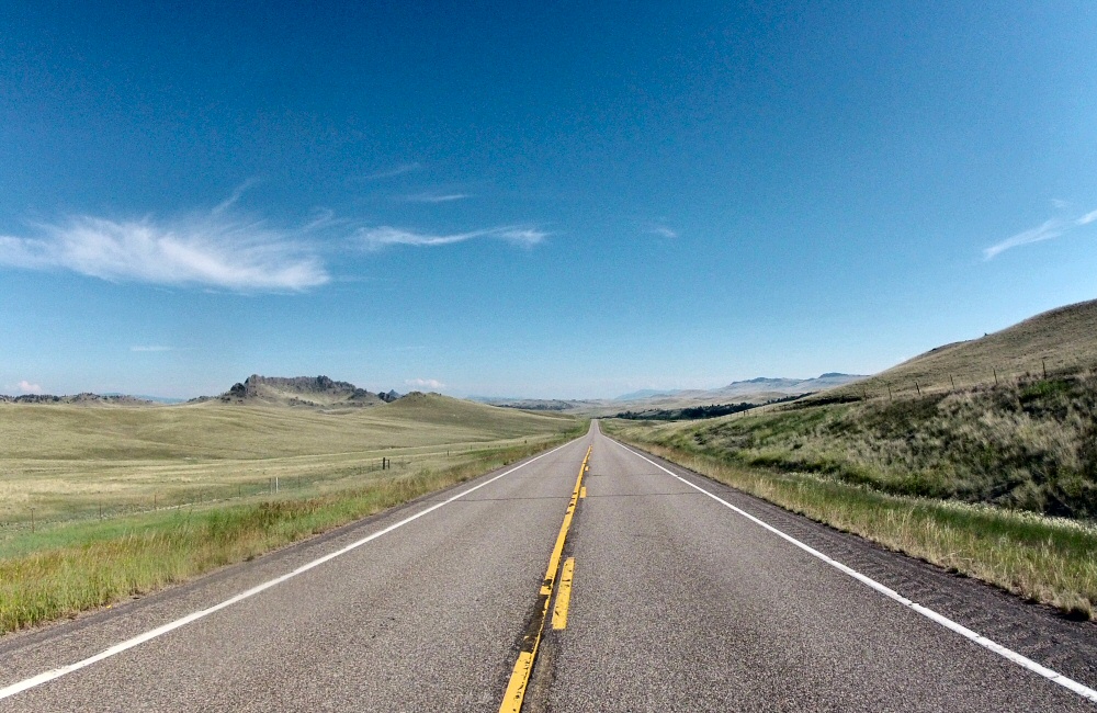
Camping at Neys gave us a further couple of days all together, though it was chilly and overcast, and last night we had some rain which set off the biting bugs in full force. Fun times with kids and friends, but we gotta get moving again. Should be about five or six days to Denver, back across the prairies.

Across the middle

The alarm I’d set to wake me up to see the sun rise over the Tetons did its job, but the mountains were still asleep under a thick blanket of cloud, so I tucked back in for a few more minutes shut-eye. That was almost a week ago! Since leaving the Tetons we’ve crossed half of America, and still have a couple of days to go before Thunder Bay. The Grand Teton Range is on the far western side of Wyoming – the last we see of the Rockies as we head east. The rest of Wyoming, at least the centre section that we drove across, is just empty grassland and ranches.

Prairies Devils Half Acre

[Friday 18th] We spent the night in Casper, one of the larger towns in the state, so that Rose could go to “the west’s leading ranch outfitters” to buy some cowboy boots. Even though they had the biggest selection we’ve ever seen, nothing had that special feel so we left empty handed.

Custer RV Park Boots

The next day took us to the edge of Wyoming – open, empty land covered in sweet yellow clover grass, as though the hills had been dusted with yellow powder. It’s a lot hotter out here than in the mountains. As soon as we crossed over the state border into South Dakota, we climbed into the Black Hills, where it cooled down quickly. The Black Hills are full of history – Indian sacred grounds and hunting lands, and of course the subsequent clashes with the settlers once gold was found here in the 19th century. We drove through the town of Custer (of Custer’s Last Stand) and past Mt. Rushmore, into Custer State Park where we planned to stay the night. Driving through the park we ended up on a tight, winding mountain road with tunnels and “pig tail” bridges – it turns out that this road was built in the early 20th century purely as an engineering challenge.

OLYMPUS DIGITAL CAMERA Custer Trading Post, South Dakota

Not planning ahead, being naïve travellers, means that when we come across interesting things it’s much more of a surprise. So far we’ve not really been planning anything, other than a general trend towards the north and east. Yeah, we may have missed things along the way, but we don’t want to be just jumping from one tourist spot to the next.

OLYMPUS DIGITAL CAMERA OLYMPUS DIGITAL CAMERA

As the sun disappeared we found the last available camp site in the park, and cooked up some chilli and rice. At about midnight we were woken by an amazing storm – huge lighting flashes and booming thunder. And then hail hammering down on the roof of the van, so hard I was expecting to find dents all over it in the morning.

[Saturday 19th] On Saturday we bimbled around the wildlife loop in the state park, seeing more buffalo, plenty of deer and a prairie dog town. I’d seen that there were some mountain bike trails in the Black Hills, and I was desperate to get out on the bike again. But without any internet connection and pretty poor information from the visitor centre, I had to take my chances and head off on a hiking trail – up to Cathedral Spires. Turned out to be a fun hour. Hot! Heading back towards the Crazy Horse memorial we passed Sylvan Lake which looked too tempting to pass by without a quick paddle, so we popped the kayaks in, powered across the lake, and had a swim.

DCIM100GOPRO
Cathedral Spires, Black Hills, SD
Sylvan Lake, SD
Sylvan Lake, Black Hills, SD

Late afternoon we wandered around the Crazy Horse visitor centre. The memorial is of one of the Lakota Indian chiefs – as a response to the building of the Mt. Rushmore memorial which commemorates the first four American presidents, “so that the white man knows that the Red man had great leaders too”. It’s a huge undertaking, started in the forties, to sculpt a whole mountain into a statue of the chief riding a horse – the biggest sculpture in the world.

As the evening set in, we grabbed a bite to eat in Custer and then carried on east out to the Badlands National Park. The park campground as described in our National Parks book is “primitive” – it’s just a ring of grass in the middle of the grassland, with a couple of long drop toilets and a bunch of picnic tables under sun shades. Not a single tree, which makes it completely different from every other campground we’ve been to. Still mosquitoes though … how do they survive out here?!

Badlands sunset
Sunset as we approach Badlands NP

Chatted late into the night with a bunch of other young travellers – one guy from San Francisco heading to Harvard in Boston to spend a few years studying architecture, a young couple driving around the US for a couple of months, almost the same route as us but in reverse – again from the bay area in California, two brothers from Florida headed for college in Missoula, Montana, and a girl from Iowa who was taking a weekend break from her job as a National Park environmental worker in Minnesota. Normally the US and Canadian campgrounds are quite anti-social; everyone has their own pitch with table and fire ring, a good distance apart to give some privacy. It means you don’t really get to meet people, which is a shame. Here you could pitch up anywhere you wanted, no fire rings, and shared tables. Everyone had been travelling for days and was keen for conversation with a new bunch of people.

[Sunday 20th] Explored the Badlands in the morning, in the searing heat. Not a breath of wind, and 100-plus degrees made it sweaty, sticky work. The only way to get a breeze, or any shade, was to get moving in the van with the windows all open, so we didn’t dawdle. Sheltering from the sun, sweltering and sweating in our plastic van seats, we slithered across the rest of South Dakota – miles and miles of empty grasslands, turning into wheat fields, and then corn fields further east.

Badlands Daisies DCIM100GOPRO Badlands NP Badlands

Everything here is geared towards farming. The fields are huge, but there seem to be separate farmhouses every few miles, so the farms themselves can’t be that big. It’s all very well kept, with perfectly mown road verges (I suppose they have the equipment and the time!), neat barns and grain silos, and huge immaculate lawns in front of every house. And of course each property proudly flies the stars and stripes outside. On and on and on. It’s given me a chance to catch up with learning Spanish – I bought some bigger speakers and wired one up to the radio so that it’s a bit easier to hear while we’re blasting along with the windows down.

My other goal for the summer, to learn the Ukelele, hasn’t been progressing so well. I’ve got three basic chords dialled, but that was a month ago and not much has happened since. The same three notes strummed over and over again isn’t the best soundtrack to a summer evening in a remote campsite, especially when we have neighbours.

Grain processing plant South Dakota barn Road junction

Just before leaving South Dakota we found a motel for the night, in Watertown, where we had a wonderfully refreshing shower, and caught up with emails. We’d thought that we’d get internet on our phones in the USA, but we’ve not actually had data reception since we left Washington weeks ago (which is one reason why I’ve only been able to update the blog every few days, at coffee shops). The states we’ve been through appear not to have any T-Mobile coverage – we can get other networks, but it turns out that using data on other networks is deemed “domestic roaming” and there’s a 50Mb data limit which we burnt through pretty quickly. Rubbish. But not really a problem. The National Geographic Adventure Atlas of USA and Canada (thanks mum!) has been our only guide – a really good one, with campgrounds and points of interest.

[Monday 21st] We stayed at the motel for most of the morning, spending time online, researching future trips and getting various online jobs done – things like recording a change of address with the California DMV so that I can then renew the boat’s biannual registration. And ordering some electric fans to get some air moving in the van at night! We’ll get them delivered to a town ahead of us, and pick them up on the way back from Canada.

Road tripping is actually really time consuming. I’d thought that we’d get much more time to do things other than drive, but that’s not been the case at all. To cover 10,000 miles in 3 months we need to average over 100 miles a day, and with a few rest days that quickly goes up for the days we’re driving. We’d originally planned 6,000 miles in total, but after 6 weeks we’ve already covered 5,400 miles. The van’s running well. Needed to top up with oil today, but otherwise all A-OK. So glad to have a fridge on board; means we can keep food fresh, have cool drinks during the day, and cold(ish) beers in the evening.

Right now we’re driving through St. Cloud in Minnesota – still stinkin’ hot – gotta go, my turn at the wheel is coming up.

Grand Teton NP

Time for more mountains! We left the campground at about 9 this morning, not too shabby, and headed south to the Grand Teton National Park which butts up against the southern end of Yellowstone. We’re pretty much ready to start our mission east across the prairies to Thunder Bay, but can’t miss the Tetons as we’re right next door, and who knows when or if we’re going to be coming this way ever again. We decided to swing by and spend a day in the park. Yesterday I mentioned we’re feeling a little blasé about mountains and forests and beautiful views – but coming up to the Teton Range blew all that away, as every new mountain range appears to do. These peaks are stunning, rising more than 3,000 feet directly from the flat valley floor, with no foothills. They look amazing for climbing. I’ll definitely be coming back here with a climbing buddy someday.

Wanting some exercise but not an epic lung-buster up the side of a Teton, we walked a few miles around Jenny Lake, the scenic centre of the park. A passing ranger told us there was a grizzly bear just a quarter mile down the trail, so we kept our eyes peeled and ears pricked for any furry action, but didn’t end up seeing anything. Shame, it would have been awesome to see one up close in the wild.

As we were getting ready to walk around the lake, we had a quick chat with a lady that was touring America with a young lad in tow, maybe ten years old. We reckon it was probably her grandson. She, like us, didn’t have much of a plan. Each time they got to a junction she’d ask him “which way?” – he’d make a decision, and off they went. What an adventure!

Spent the rest of the afternoon sat in the sun, drawing mountains, and sewing up the umpteenth tear in my shorts. Gonna see if I can get another two months out of them. The fabric is so thin, I’m not sure I want to put them in the laundry in case they can’t handle the spin cycle. I don’t think Rose is going to let me wear the same shorts without washing them for 8 more weeks though. Watch this space.

Not having had a shower for three long, hot days, it was time to freshen up – we found some pay showers in Colter Bay village in the centre of the park, stocked up on a few cold treats at the general store next door, and then rustled up a feast of vegetable fajitas in a car park overlooking the mountains. I don’t think the Americans are used to seeing people cooking in car parks, squatting on the floor with a wok sizzling away. Doing the same in France I remember plenty of friendly “bon appetites”, but here everyone pretends not to notice us as they climb out of their cars, wander a few yards, take a snap with their iPhone, get back in the car and drive on to the next spot on the map.

I’m now sitting in the van at Togwotee pass, watching the sun go down behind the peaks of the Tetons in the distance. We’re on the Continental Divide, again. We’ve been back and forth over this line maybe twenty times over the last couple of weeks. On the west side all water flows down into the Pacific, and on the east side it has more of a journey ahead of it – flowing either into the Atlantic, into Hudson Bay or the Arctic. A ridge dividing two watersheds isn’t a strange concept, but for some reason I’m captivated by this line that traces a path all the way from the top of Canada down to Mexico, a single continuous line meandering over the peaks and crests of the Rocky Mountains. We don’t have anything like it in Europe – sure there are some huge rivers like the Rhine and the Rhone – but not like America which is such a clearly defined north-south continent, holding apart two oceans.

We’re sealed up against a plague of mosquitoes (again), but up here at over 9,000 feet it’s cool enough to have the van closed all night. It’s a clear sky, I think the weather pattern has changed. If it’s a clear dawn it’s going to be a stunning light show on the Tetons over on the other side of Jackson Hole, so I’m setting an alarm to see if I can catch it.

Grand Teton NP OLYMPUS DIGITAL CAMERA OLYMPUS DIGITAL CAMERA

Yellowstone

Not wanting to hang around for a second day at the festival, we packed up on Sunday morning and made our way south towards Yellowstone. Leaving Butte, the mountains changed character yet again. Nestled among the trees on the hills around the highway were hundreds of squashed round boulders, sat on their narrow ends – just like a plague of huge, swollen ticks gorging themselves on the folds of the mountain.

Early afternoon we arrived in West Yellowstone, on the border of the national park. We poked our noses into the park to see what the story was with camping, but as we’d expected, it was busy busy and all campgrounds were full. There are a few that allow reservations – which I’m sure would book up months ahead of time – but all the others are first come first served, sometimes filling up early in the morning. So we turned around back into town, found a campground, got settled with some lunch and then set out to explore the place. Lots of tourist tat everywhere – but not too many tourists – I guess they must all be in the park filling up those camp sites. The heat of the last few days is generating plenty of thunderstorms, this evening we sat outside the Buffalo Grill drinking our beers in the rain, hoping optimistically that it was going to stop and dry out before our tacos arrived. It didn’t, so we ate inside.

Monday / Tuesday

The battle plan for Monday was to get up early and go straight into the park to find a camp site. We arrived at Norris campground, pretty much right in the middle of the park, at 9am, and found a few free spots, vacated by early risers. Wanting 3 days in the park, we booked in for a couple of nights, paying the usual $20 per night in a little cardboard self-registration envelope. After a quick coffee it was time to explore the park.

The next couple of days were a blur of geothermal sites; hot springs, geysers, steam vents, mud pots, boiling pools – all a bit overwhelming, but very impressive. The park does well to soak up the 3 million people that come here each year; most geyser areas are quite large with trails and walkways over the fragile earth that go on for at least a mile or so. But it still felt busier than any of the other parks we’ve been to. Most car parks had a queue of people waiting to get in. All very well organised, just like the other US National Parks.

The range of springs, vents, pots and pools was unbelievable; with different coloured bacteria living in different temperatures. The Morning Glory pool was stunning. These pictures are not enhanced. The colours really were like that. Amazing.

DCIM100GOPRO OLYMPUS DIGITAL CAMERA

And the prismatic spring blew me away. From way up the road, as we approached, we could see steam just like with all the other geyser sites, but here there was so much colour in the spring below that the steam itself was coloured in vivid orange, turquoise and yellow.

OLYMPUS DIGITAL CAMERA

We managed to dodge the thunderstorms and get enough sun to take a bunch of pictures. Too many pictures. I often wonder why I don’t just download professional photos of the tourist sights. They can do better than I can, and it would leave me to just soak it all in without having to think about getting my own shots. But no, just like the gazillions of other snap-happy tourists, there we were, going for the best angle, best lighting, click click click.

OLYMPUS DIGITAL CAMERA

Waiting for geysers to erupt is a funny game. Some of them are predicable, to a point. Sometimes the expected eruption times are posted by the rangers. Some geysers erupt pretty often, perhaps every few minutes, so it’s easy to catch it in action. Others erupt once every few hours, plus or minus an hour or so, and if you want to catch these doing their thing you need to get there early and just wait. And some only erupt following earthquakes, or only once or twice a century. We didn’t get any of the predictions, and just followed our noses around the park, but still managed to see a fair few geysers spouting and hissing into the sky. Perhaps the most impressive was Riverside Geyser, where (following a tip-off from a well prepared German) we waited about half an hour for it to spew its insides out all over the river.

DCIM100GOPRO

For us, the rest of the park – the wildlife, the scenery, the history – took second place to the geothermal sights. Sure, we saw bison, elk, a bunch of small rodenty things, some birds, impressive cliffs, waterfalls and canyons, but that’s “just more nature”. Having been amongst jaw-droppingly beautiful country for over a month now, I think we’re actually getting a little desensitised.

A ridiculous number of pictures …

OLYMPUS DIGITAL CAMERA OLYMPUS DIGITAL CAMERA OLYMPUS DIGITAL CAMERA OLYMPUS DIGITAL CAMERA OLYMPUS DIGITAL CAMERA OLYMPUS DIGITAL CAMERA OLYMPUS DIGITAL CAMERA OLYMPUS DIGITAL CAMERA OLYMPUS DIGITAL CAMERA OLYMPUS DIGITAL CAMERA DCIM100GOPRO DCIM100GOPRO Yellowstone NP OLYMPUS DIGITAL CAMERA OLYMPUS DIGITAL CAMERA DCIM100GOPRO OLYMPUS DIGITAL CAMERA OLYMPUS DIGITAL CAMERA OLYMPUS DIGITAL CAMERA OLYMPUS DIGITAL CAMERA OLYMPUS DIGITAL CAMERA DCIM100GOPRO OLYMPUS DIGITAL CAMERA OLYMPUS DIGITAL CAMERA OLYMPUS DIGITAL CAMERA OLYMPUS DIGITAL CAMERA OLYMPUS DIGITAL CAMERA DCIM100GOPRO

Montana Folk Festival

A hot, hot day at the Montana Folk Festival, which is set up among the streets of “Uptown Butte”. One of the stages is on a field, in front of one of the old mining towers, but the others are all tucked in between the buildings. Saw a bunch of different acts, some good stuff and some not so good stuff, and got roasted sitting out in the sun. We were done by early evening, partly overwhelmed by having so many people around after being in the wilderness for weeks, so we headed back to the van for an early night.

Butte, Montana Butte, Montana

Butte, Montana

After a not-so-comfortable night lying on the hard rocky ground, we rustled up porridge for breakfast and then headed back down the valley. Various people we met on the way down (and on the way up yesterday) mentioned that they had seen a blonde coloured bear on or near the trail, but we didn’t get a glimpse of it. Perhaps we were making too much noise (intentionally, since we didn’t fancy surprising a bear on the path). We were armed with bear spray – I would have liked to see a bear at close quarters in its own habitat – but no luck this time.

Back at the car park we had a refreshing shower and then headed south. Not far from the park in Browning, in the middle of the Blackfeet Indian Reserve, we passed a mass of tepees, horses and RVs – preparing for a “powwow” we were told by the guy in the drive-through burger place where we grabbed a bit to eat for lunch.

The scenery changed rapidly – the mountains fell away into open hills, with silver, lifeless, leafless trees covering the hills. There was no obvious sign of fire, and yet every single tree was dead. Perhaps some disease that had stripped them of their bark and killed them. It was not so long ago – new growth had not yet sprung up between the dead trunks.

Soon even the dead trees were gone, and we were in the middle of wide, open grassland. The start of the great prairies, stretching from here all the way across to the east. I’m looking forward to seeing the huge, open skies and flat, flat land. Need to catch up with learning Spanish from my CDs too! Tucking back towards the mountains again, we ended up in Butte, where we’re going to be for the weekend, at the Montana Folk Festival. We’re camped in a local park with a hundred or so other people, watching a thunderstorm crash and flash on the hills behind the town. The full moon is rising behind the bank of clouds and it’s muy dramatico.

Full moon, Montana

Next to us on one side are a couple travelling around in their van for the summer. He’s from Pennsylvania and she’s from Costa Rica. The other side is a couple from Billings, the capital of Montana. They moved over here from New York a few years ago for his work. Even the largest city in the state only has about 100,000 people – it’s a pretty empty place – pretty different from New York, but they love it. The state tagline is “GET LOST … in Montana”, it’s definitely a place where recreation is high on the agenda.

We’re skipping tonight’s festival activities, going to catch up on some rest and attack the crowds tomorrow.

Okotomi Lake

Expecting another scorcher of a day we started early. Cooked up some pancakes with maple syrup then hit the trail up to Okotomi Lake. The 5 miles and 2,000 feet of climbing took us 2 and a half hours, first through thick forest growth and big fir trees, then through smaller, more open subalpine trees, and finally across open scree slopes to the camp. To make sure that people and wildlife don’t get in the way of each other, the camp ground was divided into separate areas for sleeping, preparing food, storing food, and toilet. In Yosemite, they are trying to teach the bears that humans don’t provide easy food by enforcing every visitor to keep their food in bear proof canisters. Here, we have a pole where we have to hang our food and anything else that smells, well away from hungry claws and paws.

We spent the afternoon sat on a small gravel beach by the side of the lake, reading in the sun. Ground squirrels became more and more confident as we sat there, scuffling around in their incessant search for food. When we peed in the bushes, they smelt it immediately and raced to the crime scene to get a taste of salt.

Okotomi Lake Camp Okotomi Lake Camp Cold water! Okotomi Lake